
Copyright © Panorama Group 1991 - 2026

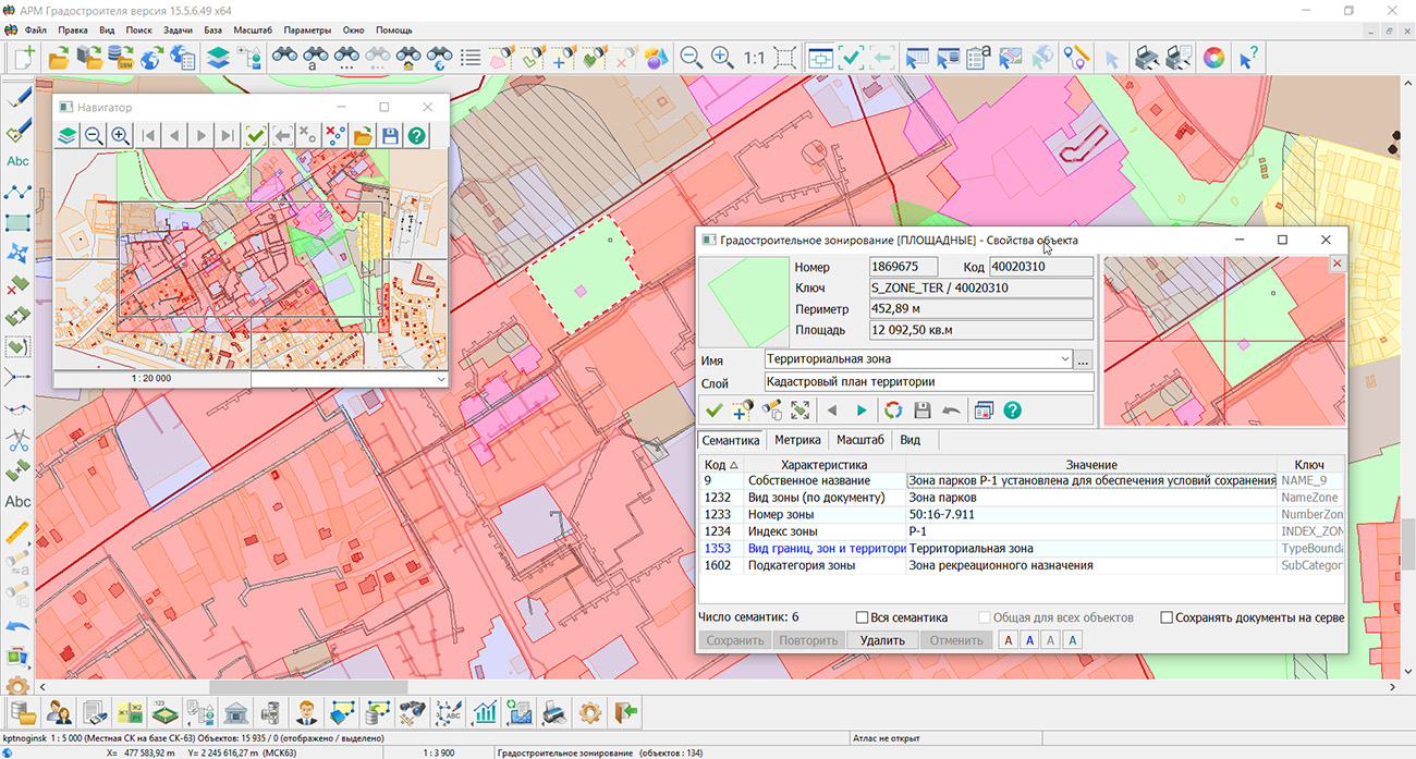
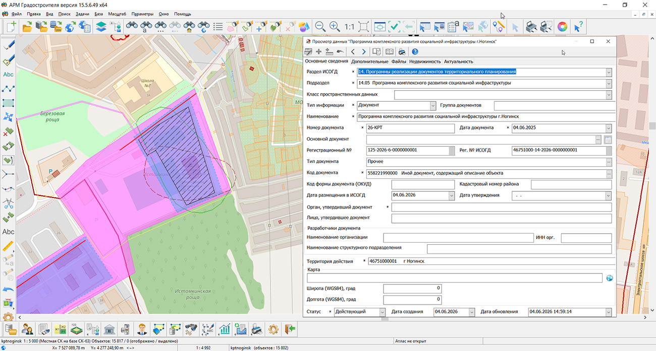
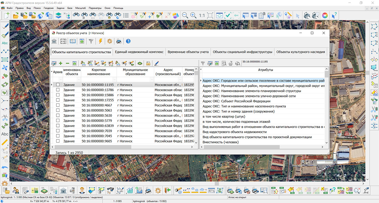
KB "Panorama" has updated version 15.5.6. The program has expanded tools for creating and editing spatial objects, analyzing remote sensing materials, working with terrain data, and preparing reporting materials. The new capabilities help specialists maintain urban planning maps more accurately, identify changes in the territory faster, and use spatial analysis results in territorial planning, urban planning zoning, territory planning, and management of the land and property complex.
In the , construction of a geodetic arc by three points has been added. If the map supports geodetic coordinate calculation, construction is performed on the ellipsoid; for other maps, the flat rectangular coordinate system is used. When entering coordinates from the keyboard, object geometry points can be loaded from SHP, OGC GML, and GeoJSON files. This reduces manual input and allows using survey results and data from related information systems when placing designed objects, engineering structures, and elements of the planning structure.
New modes for working with contours allow creating area and linear objects from subobjects of selected objects, as well as deleting internal and additional contours in a specified area. These tools simplify the formation of independent objects based on the complex geometry of territorial zones, land plots, and other elements of urban planning documentation. Specialists can correct boundaries faster and obtain topologically consistent data without re-drawing existing contours.
Joint use of "Urban Planner Workstation" with the automatic recognition and vectorization complex provides comparative analysis of urban planning maps and Earth remote sensing data. In the tasks and , data processing strictly within the boundaries of a selected object has been implemented. The contour transmitted to the server is used for automatic clipping of recognition results, which is especially convenient when surveying municipalities, cadastral quarters, and design areas. Neural network model parameters, object classes, and vectorization settings are saved in JSON profiles and can be applied at different workstations. The ability to select reference objects with a map filter helps pre-control source data, and transferring the recognized layer to the current map accelerates updating information about buildings, roads, water bodies, and other objects in the territory.
Retrieval and display of terrain information via the OGC WCS protocol have become faster due to requesting tiles in accordance with the current map scale. When building profiles and performing calculations, the program uses base resolution data, preserving the necessary accuracy of analytical operations. Connection to GIS WebService SE provides access to elevation and bathymetric data that can be used in assessing territory development conditions, preparing engineering infrastructure schemes, and substantiating design decisions.
In the , application of a geodetic coordinate grid to the map inset frame is provided. Latitude and longitude values are generated with a specified step and automatically updated when the scale, position, or rotation of the inset content changes. This improves the clarity and quality of cartographic materials included in urban planning documentation and analytical reports.
For presenting results at meetings and public discussions, the mode has been improved. It allows drawing graphic objects on the map in full-screen mode using a touch panel or mouse, rotating the image, and saving the prepared screen to a graphic file. Object attribute tables can now be exported to HTML for viewing and inclusion in reporting materials, as well as to DBF for further processing in databases and specialized information systems.
The updated "Urban Planner Workstation" combines cartographic editing, image analysis, work with terrain, and document preparation in a single environment. Automation of repetitive operations reduces the labor intensity of maintaining spatial data, helps specialists prepare substantiated decisions faster, and improves the quality of information support for urban planning activities.
The new version of the program is available on the website in the Download section.

Specialists of KB "Panorama" have prepared an educational video on automating the design of vector maps. The video tutorial demonstrates tools for generating labels based on semantic characteristics of objects and mass editing of already placed labels. Using a practical example, it demonstrates the formation of labels for selected map objects using the task , available to users. Values of semantic characteristics, coordinates, and elevations of objects can be used as text. The user selects the type of label to be created from the classifier, sets rules for its placement and other design parameters. Generation settings can be saved for subsequent use when processing similar data.
Depending on the nature of the objects, labels can be placed relative to the anchor point, along a linear object, or in the center of a polygon. For linear objects, text placement is provided at the beginning, middle, or end of the line, distribution of labels along its entire length, as well as text construction along the shape of the line. For area objects, the label can be placed in the center or oriented along the longest side.
A separate part of the video tutorial is devoted to working with already created labels. It demonstrates selection of labels on the map and their group editing. This approach allows changing the design for a set of objects at once and reduces the number of repetitive manual operations when preparing cartographic materials.
Tools for automatic generation and editing of labels are in demand in the preparation of topographic and thematic maps, cadastral and urban planning materials, engineering communication schemes, transport infrastructure, forest management, and other industry maps. With their help, it is possible to mass-apply names of objects, numbers of plots and buildings, characteristics of engineering structures, elevation and coordinate values, and other information contained in object attributes.
The reviewed capabilities will be useful to cartographers and geodesists, cadastral engineers, specialists in urban planning and land management, design and survey organizations, operating organizations, and enterprises maintaining their own spatial data. Automation is especially effective when working with large maps, where manual creation and correction of hundreds or thousands of labels requires significant time expenditure.
The video material can be viewed in the "Video Tutorials" section.


Specialists from KB "Panorama" have prepared and placed on the geoportal a map of the Falkland Islands. The map was generated from OpenStreetMap data. To work with the map, you can use the program or other KB "Panorama" software products.
The map has been brought into compliance with the modernised classifier of large-scale plans at a scale of 1:5,000 (map5000m) and saved as a packed project (MPTZ). The MPTZ project includes a digital map covering the territory of the region (country, federal subject, administrative district) and a digital classifier. Updates were placed in the bank of spatial data using the . Publication of the contents of the bank of spatial data on the geoportal and access to the data for downloading are implemented by means of GIS WebServer SE.
Free maps based on OpenStreetMap data are available for download on the page.


From 13 to 16 October 2026, specialists from KB "Panorama" will take part in the in Kazan. The event will bring together cadastral engineers, heads of specialised companies, government representatives, software developers and real estate market experts to exchange experience and discuss current industry challenges.
The congress programme includes legislative changes, the development of the , improvement of the quality of cadastral works and the technological equipment of companies. Participants will discuss software, complex cadastral works, forensic expert activity, the establishment of zones with special conditions of land use, easements, territorial zones and specially protected natural areas. Particular attention will be paid to the development of the cadastral business, in-demand services and the professional competencies of cadastral engineers.
On Wednesday, 14 October, from 9:30 to 12:00 in the Tolstoy Hall of the Korston complex, the technology track will be held. Within the framework of the track, Roman Albertovich Demidenko will deliver a report titled "The KB 'Panorama' Geoinformation Platform for Spatial Data Management".
The report will present an end-to-end technology for the creation, accumulation, publication, processing and analysis of spatial data based on the company's software products. This approach makes it possible to link the preparation and updating of maps, centralised storage of materials, provision of access to users and the collection of operational data in the field.
Participants will become acquainted with the capabilities of automatic generation of digital orthophotomaps and terrain models from UAV imagery, object interpretation and recognition, and generalisation of topographic maps and plans. The use of neural networks for validating XML documents and preparing recommendations for error correction will be considered, as well as for identifying unregistered real estate objects by comparing the cadastral map with current terrain imagery and generating a difference map.
A separate part of the presentation will be devoted to working with state register data: loading cadastral data from the Unified State Register of Real Estate (EGRN) and information on forest objects from the State Forest Register (GLR) from XML, configuring the correspondence of local coordinate systems and reprojecting data on the fly. It is planned to consider the use of satellite and aerial imagery, laser scanning data and geodetic measurement results in solving applied and cadastral tasks.
We invite cadastral engineers, heads of organisations and specialists in spatial data processing to take part in the congress and attend the presentation by KB "Panorama". The detailed programme and registration are available on the event . We look forward to seeing you in Kazan!


KB "Panorama" has developed the Automatic Recognition and Vectorisation Complex, version 2.0.1. The new version adds support for requests to process large territories. The maximum recognition area is now determined solely by the number of processor units available to the user. A city, region, territory or republic can be selected for processing and submitted to the service as a single request.
To launch recognition, it is sufficient to select a neural network model, specify the area of interest and submit a request. Further subdivision of the territory is performed automatically within the service. The original request is divided into sub-requests of optimal size, which are processed sequentially by the complex. At the boundaries of the sections, the recognised contours are reconciled with one another, which makes it possible to form a single vector map without the gaps that arise during independent processing of individual territories.
During lengthy processing, the user does not need to wait for the entire request to be completed. Intermediate results for already processed sections can be downloaded to a computer and used before recognition of the entire territory is finished. This is convenient when working with regional-scale areas, whose processing may take several days.
The capabilities of the new mechanism were tested during the generation of a forest map of the Republic of Bashkortostan. The recognition area amounted to about 247,000 km?. On a single server, processing took seven days. Based on the recognition results, about 400,000 vector objects of the forest fund were generated. The resulting map was used to supplement OpenStreetMap data.
Support for large territories makes it possible to use "Panorama Vision" not only for local interpretation of individual plots, but also for updating spatial data at the level of cities and regions. The user does not need to independently divide the original territory, create several requests and merge the results obtained — these operations are performed automatically by the service.
The "Panorama Vision" complex makes it possible to vectorise buildings, roads, forest contours, agricultural fields and hydrographic objects (rivers, ponds, lakes and others), as well as to detect vehicles in imagery. The service is located on the Internet on KB "Panorama" servers. Access to the service is provided from the list of applied tasks in . The current version of GIS "Panorama" is available for download in the section.


Ph.: +7 (499) 402-2445,
+7 (925) 221-1603
www.gisinfo.ru | panorama@gisinfo.ru
105005, Russia, Moscow, Baumanskaya Street,
house 7, building 1, office 229 (m. Baumanskaya)
Copyright © Panorama Group 1991 - 2026


 Mobile version
 Full version
