Copyright © Panorama Group 1991 - 2024

Specialists of KB "Panorama" have prepared a video lesson of formation of a graphic file of the scheme of geodesy constructions for a graphic part of the land survey plan. Users of "Workstation of cadastral engineer", or can make schemes of geodetic constructions with the subsequent formation of graphic files of schemes using the tools of the .
The training material demonstrates the procedure for forming the scheme of geodetic constructions for the graphic part of the land survey plan issued in accordance with the Order of the Ministry of Economic Development of the Russian Federation dated December, 8th, 2015 No. 921. On the basis of this order in software products of KB "Panorama" the classifiers of symbols survey.v5.rscz and survey.v6.rscz have been developed. In classifiers there are implemented the general list of layers, semantic characteristics and objects for displaying cadastral information on cadastral maps and other cadastral documents.
The scheme of geodetic constructions contains a schematic representation of the object of cadastral work and geodetic constructions, depending on the method of measuring the object. Preparing a scheme of land plots layout is an obligatory stage in the production of cadastral works on formation of land survey plan of the land plot.
You can get acquainted with training materials in the section "Video lessons".


In KB "Panorama" the digital geographic map of scale 1: 1 000 000 in SITZ format onto territory of the Italian Republic has been prepared. As a source for preparation of the map the obtained from the information from the site has served. The map contain information on the number of inhabitants for cities and the name of settlements in Russian. As additional materials the World map of scale 1: 5 000 000 and data were used.
The map was led to the classifier of geographic maps of scale 1: 1 000 000 (1mogk13g.rsc). It can be used for a general assessment of the area and the study of natural conditions, to ensure the educational process, as a basis for the creation of geographic maps of a smaller scale, thematic and special maps, and solving other tasks. The map is distributed free of charge under a free .
Digital geographic maps of scale 1: 1 000 000 in SITZ format are available for download on the page "Digital maps".


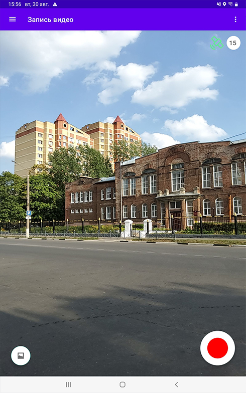
KB "Panorama" has developed a mobile application for recording video tracks based on data from the GPS/GLONASS receiver VideoGPS version 1.0 for Android OS. In the program a support of new versions of Android OS (11 and higher) is implemented. The updated version of the application supports the embedded in Android OS the mechanism of protection of the user data, regulating access to the user's shared files, such as video files, audio recordings and documents. The user is given the opportunity to select a directory for recording video tracks when the first accessing the video recording. After recording, the user can view and select files using standard operating system tools (file viewer and video player). The program allows to execute loading of the recorded tracks onto the GIS Server. Support of modern versions of Android OS expands the set of compatible devices for preparation of geodata by means of the mobile application.
VideoGPS allows you to record a video track together with a motion trace file. The recorded data from a mobile device, as well as data received from a car DVR or a video camera of unmanned aerial vehicle, can be imposed onto the map in the task from the . This dialog allows you to download and view video synchronized with the GPS track. When viewing video, a marker is displayed on the map indicating the position of the camera corresponding to the current frame of the video file. When the mouse pointer approaches a track on the map, an additional window opens with a frame corresponding to the selected track point. Dialog supports the video files containing coordinates of a track in subtitles of a video file, or in a separate file of GPX, NMEA-0183, KML formats. When loading a video file containing coordinates, into a map the track is automatically added in the form of linear object with the four-dimensional metric. Each point contains coordinates, date and time of of GPS-coordinates recording. To link an object to a video file, a link onto the video file is written into the object. Loading tracks in GPX or NMEA-0183 format is performed using the mode.
The new version of the program is available for download in the section.


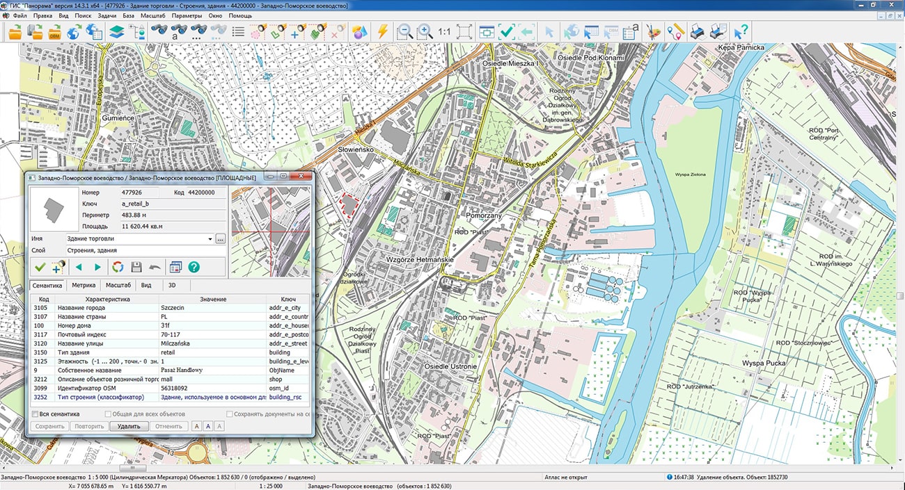
The geoportal is supplemented with maps of the Wielkopolska, West Pomeranian and Kuyavian-Pomeranian Voivodeships (Poland), formed according to OpenStreetMap data. The source data was obtained from the website. To work with maps, you can use the program or other software products of KB "Panorama".
The maps were led to the modernised classifier of large-scale plans of scale 1: 5 000 (map5000m). Publishing of updates in bank of spatial data is made by using the program of . Publishing contents of bank of spatial data on the geoportal and data access for downloading are implemented by means of .
Free maps on the basis of OpenStreetMap data are available for download on the page "Digital maps".


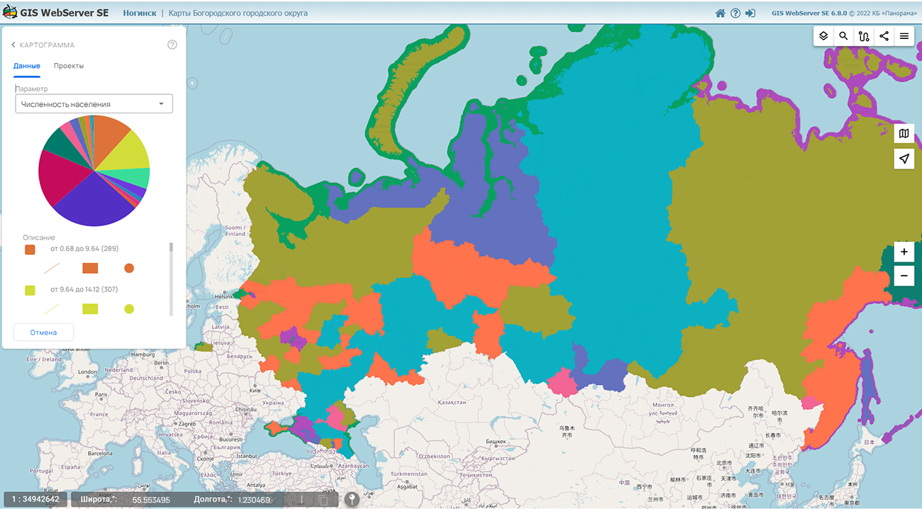
In KB "Panorama" the version 6.8.0 has been developed for operating systems Astra Linux, CentOS, Ubuntu, MS Windows. In the new version the modes of obtaining additional information about map objects are improved. The administration module has been improved and the components have been updated: Cartogram, Spatial database, Lists of objects, Selection of objects by conventional symbol.
The program implements support for tooltips to the map objects. This is an additional interactive way to get information about objects on the map. Tooltips appear when you move the mouse cursor over the image of the object. The tooltips contains brief information about object: an object name, a name of a map layer, individual attributes of object. Work of tooltips is supported for layers of the maps published on service the . The updated GIS WebServer SE administration module allows you to select map layers for displaying tooltips and configure the information content for them. In the new version into the Cartogram component the possibility has been added for import and export of parameters of creating thematic maps into files of JSON format.
GIS WebServer SE is used in the construction of closed corporate systems to ensure the protection of data having a security classification or a trade secret. The program is certified by the 2nd level of control over the absence of undeclared capabilities. GIS WebServer SE is implemented using the , which can be used in development tools that use the JavaScript and TypeScript.
On the basis of GIS WebServer SE and other the Regional (RGIS RО) has been implemented. This is a specialized multifunctional geoportal, the interactive capabilities of which provide access to reliable information about objects of various categories. RGIS RO is available to a wide range of users - to the authorities, citizens, organizations, including potential investors and private companies. The regional GIS of the Ryazan region helps in making decisions in various areas of socio-economic development.
New versions of the program are posted on the website in the section.


Ph.: +7 (495) 739-0245, +7 (925) 221-1603
www.gisinfo.ru | panorama@gisinfo.ru
105005, Russia, Moscow, Baumanskaya Street 7, building 1, office 229 (m. Baumanskaya)
Copyright © Panorama Group 1991 - 2024


 Mobile version
 Full version