Copyright © Panorama Group 1991 - 2024

Specialists of KB "Panorama" have prepared a video lesson about using the mode. From the training material, users of will learn about the stages of loading data and drawing objects onto a map from XLS tables.
On the example of an open map and the test data, the setting in the dialog window "Load coordinates from Excel file" is demonstrated. The name of a map is specified and units of measure are selected in which the coordinates of objects (meters, radians, degrees and others) are set. If the units of measurement are given in degrees, then in this case it is necessary to enter the data in text form with indicating the latitude and longitude.
In the process of setting up the data, the method of creating map objects is determined (the choice of drawing objects using the "Single-typed objects" or "Type from key" button). Into section "Work file" it is necessary to add a file with data. In dialogs "First row" and "Last data row" with data it is necessary to specify number of the first and last row of the table containing the data.
Next, you need to enter the names of the columns in the table containing the coordinates of object. If the created object must have a height characteristic, then you must select the name of the column in which the height is specified in meters (H coordinate). The section "H coordinate" is optional. You can also specify "Object number (vestige)" or "Subject number (vestige)". If the column name of the number (vestige) of the object is not specified, then only point objects can be created.
If the created object has a value of a semantic characteristic, in the "Save semantic parameters" section, click the "Add" button. In section the semantic name, select the name of the required semantic characteristic, in the "Column name" section it is necessary to specify a column from the data table. After execution of all settings it is necessary to press to "Execute". As a result of execution of this operation objects with value of the semantic characteristic will be put onto the map.
You can get acquainted with the training materials in the "Video lessons" section.


In KB "Panorama" the version 14.2.1 has been developed. In the new version the list of supported geoportals has been expanded, import of raster data from MrSID files with effective Vejvlet-compression has been added, tasks of import of digital model of a relief, a relief shading and a cloud of points of laser LIDAR-scanning have been improved, modes for printing and saving the map images into graphic files have been improved.
In the task of a support for layers from the Rosreestr geoportal has been added: Cadastral okrug, Cadastral districts, Cadastral quarters, Land plots, Land plots put up for auction, Red lines, Unified real estate complexes. Geoportal provides data in vector tile form in pbf (Protocolbuffer Binary Format) format. The data contains the coordinates of objects, signatures of plots, semantic characteristics. There is added a support for the geoportal of the Russian Federal Geological Fund - Objects of accounting for the state balance of mineral reserves, demonstrating the presence of minerals. The geoportal includes 3 layers: Hydrocarbon raw materials, Solid fuel minerals, Common minerals.
The task has been improved. Import of rasters of format MrSID (SID, JPEG2000, NTF, ECW) has been added. The MrSID format is used to compress raster graphics. By means of this format, packed huge raster images such as aerial photography and satellite photos can be quickly viewed piecemeal without the need to unpack the entire file.
Import of the data about a relief from files of ArcInfo Binary Grid format has been added. ArcInfo Binary Grid files can contain a digital elevation model, a slope model, and a relief shading. Data in binary Files ArcInfo Binary Grid is organised in the form of a regular grid. The digital elevation model contains elevation data as a cell value of regular grid. According to digital model of a relief the matrixes of heights MTW are formed. To store a relief shading, the value of the regular grid cell corresponds to the degree of illumination. The files containing a relief shading or model of slopes, are converted into matrixes of qualities MTQ. The also supports loading of the data from the SRTM, GeoTIFF, IMG, DEM formats. The import of the pyramid of matrixes of elevations of relief from the KMZ format into a set of MTW files, combined into a single MPT project, has been provided.
The task has been improved. The task carries out loading of MTD-models from LAS-files obtained by means of LIDAR laser locators. The data of LAS-files contain results of sounding of the earth or sea surface, atmosphere. The MTD-model contains the dot measurements, sorted block by block, that provides fast access to data for solving computational and analytical problems. The new mode of block filling of MTD-model reduces time of loading LAS-files in volume more than 8 GB by 3-5 times. Loading of control file LAS with 555 million points in volume of 14.4 GB is executed in 16 minutes.
In the task , an export of an image of an open document into the KMZ format has been added. The formed KMZ archive contains the KML project file and a set of raster tiles pyramid for the saved territory. The KML file contains a description of the raster data parameters - the names and coordinates of the rasters binding, as well as the priority of their display. In addition to the KMZ format, the task can save images into BMP, TIFF, JPEG, PNG and RSW formats. A fragment of a digital map document of any type and composition can be saved, including vector maps, images and matrixes, as well as geospatial data from external Internet resources (WMS and WFS - services) and databases. In the task, it is possible to save the map image by the selected area, by the page format and by the dimensions of the selected objects, for example, by the dimensions of the frames of the nomenclature sheets.
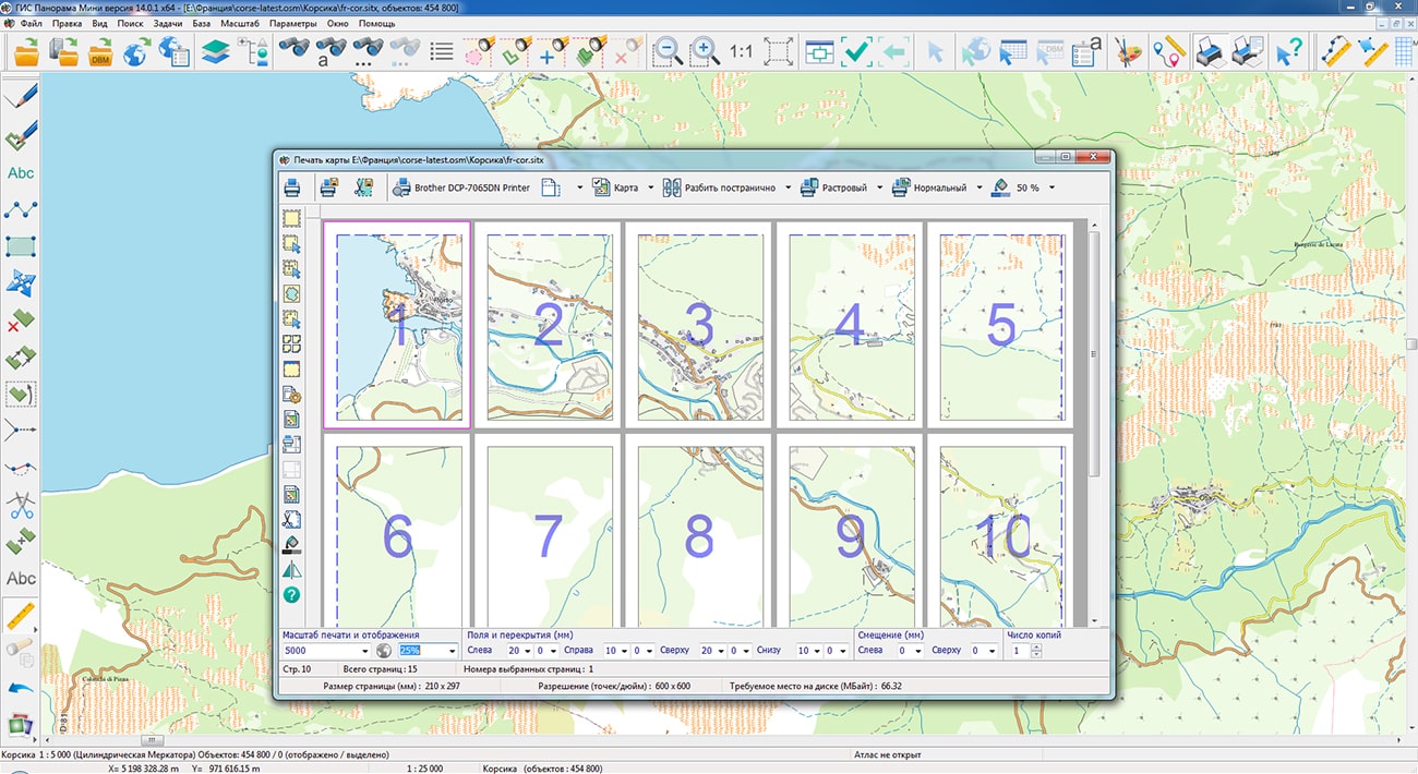
The task has been improved. Ability has been added to page-by-page save the printed areas to JPG, PNG, TIF and PDF graphic files. When saving in JPG, PNG, TIF formats the number of files corresponding to the number of selected pages is formed. When saving to PDF, it is generated one multi-page document.
To display various tabular information on the map, a new graphic sign has been developed. To display the table in the desired position, a point object is created that has a link to the CSV file in semantics and a conventional symbol of the "Table" type. The graphical parameters of the table are customized in the semantics of the object, in the RSC classifier or in the graphical parameters of the object. Support has been added for reading and displaying graphic files and maps from packaged MPTZ, MAPZ, SITZ map projects hosted on the .
The item has been added into the "File" menu, which allows you to load the photos that have a coordinate geotagging to the location into an open map. Typically, photographs taken with digital cameras and mobile phones equipped with a GPS module have such properties. On the map, photos are displayed as icons (thumbnails). Zooming in on the map enlarges the image, allowing you to see the photo in detail.
The item has been added into the "Edit" menu. This mode allows you to simultaneously copy to the clipboard and delete selected objects on the map.
The new version of the program is available for download in the section.


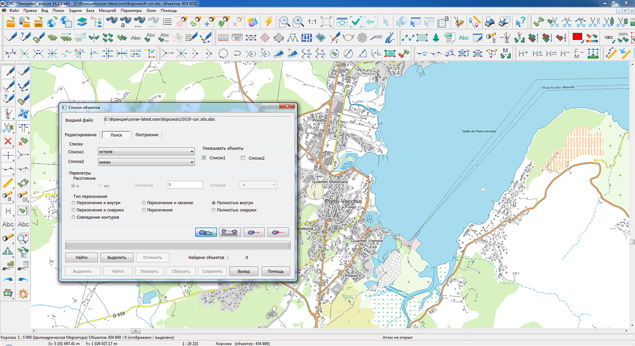
Geoportal has been supplemented with a map of the Corsica region (France), formed according to OpenStreetMap data. Source data was obtained from website. To work with the map, you can use the program or other software products of KB "Panorama".
The map was led to the modernised classifier of large-scale plans of scale 1: 5 000 (map5000m). Publishing of updates in bank of spatial data is made by using the program of . Publishing contents of bank of spatial data on the geoportal and data access for downloading are implemented by means of .
Free maps on the basis of OpenStreetMap data are available for download on the page "Digital maps".


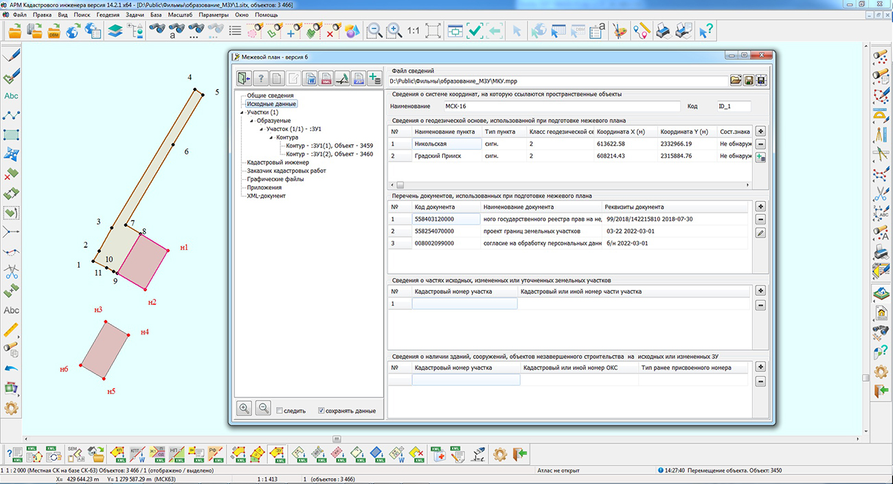
Specialists of KB "Panorama" have prepared a video lesson on the formation of an XML document of the land survey plan of version 06 for the formation of a multi-contour land plot from lands that are state or municipal property. Users of the "Workstation of cadastral engineer", or can form XML documents of the land survey plan of version 06 using a complex of geodesy calculations.
In the video lesson the features of preparation of the data, a filling the mandatory characteristics and formation of XML file of the land survey plan of version 06 according to the Order of the Ministry of Economic Development of the Russian Federation from December, 8th, 2015 № 921 have been shown. On the basis of this order in software products of KB "Panorama" the classifier of conventional symbols survey.v5.rscz has been developed. In the classifier there is implemented a general list of layers, semantic characteristics and objects for display of cadastral data on cadastral maps and other cadastral documents.
Land survey plan can be formed for one or several land plots depending on a variant of a selecting the objects on a cadastral map. Procedures the and provides support of formation of the XML document and the paper report by one of the following options:
- one land survey plan for the object, selected on the map;
- one land survey plan for the multi-contour land plot;
- one land survey plan for group of the selected one-contour land plots;
- several land survey plans for a group of selected one-contour land plots;
- one land survey plan for one or several created parts of the selected land plot (one or multi-contour).
You can get acquainted with the training materials in the "Video lessons" section.


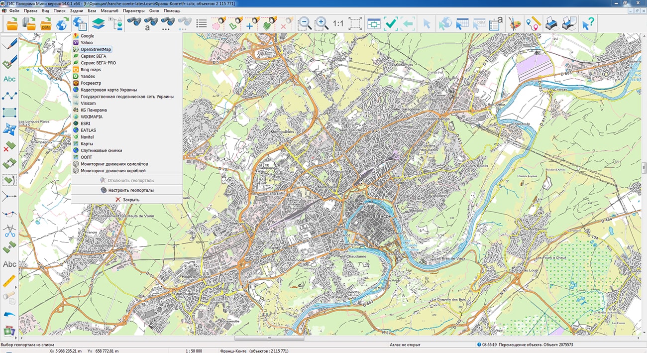
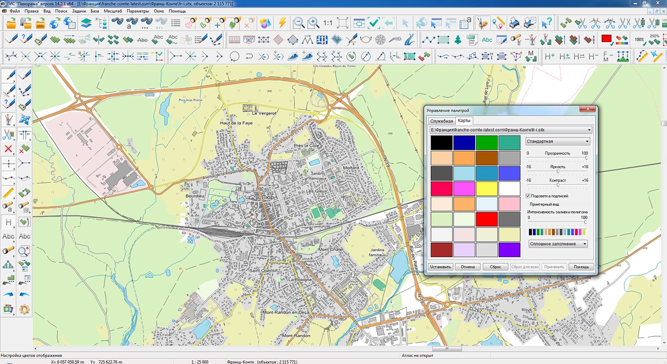
Geoportal has been supplemented with a map of the Franche-Comte region (France), formed according to OpenStreetMap data. Source data was obtained from website. To work with the map, you can use the program or other software products of KB "Panorama".
The map was led to the modernised classifier of large-scale plans of scale 1: 5 000 (map5000m). Publishing of updates in bank of spatial data is made by using the program of . Publishing contents of bank of spatial data on the geoportal and data access for downloading are implemented by means of .
Free maps on the basis of OpenStreetMap data are available for download on the page "Digital maps".


Ph.: +7 (495) 739-0245, +7 (925) 221-1603
www.gisinfo.ru | panorama@gisinfo.ru
105005, Russia, Moscow, Baumanskaya Street 7, building 1, office 229 (m. Baumanskaya)
Copyright © Panorama Group 1991 - 2024


 Mobile version
 Full version