Copyright © Panorama Group 1991 - 2024

Specialists of KB "Panorama" prepared and placed on the geoportal the map of the Karachay-Cherkess Republic. The map was formed using OpenStreetMap data, source data was obtained from website. To work with the map, you can use the program or other software products of KB "Panorama".
The map was led to the modernised classifier of large-scale plans of scale 1: 5 000 (map5000m) and was saved into a packed project (MPTZ). The MPTZ format project includes a digital map of the region's territory (country, subject of the federation, administrative region), a map of the administrative-territorial division of the region and a digital classifier. Publishing of updates in bank of spatial data is made by using the program of . Publishing contents of bank of spatial data on the geoportal and data access for downloading are implemented by means of .
Free maps on the basis of OpenStreetMap data are available for download on the page "Digital maps".


Specialists of KB "Panorama" have prepared a video lesson of the mode . Video lesson shows a formation of the XML-document reproducing data on an establishment, change, termination of existence of zones with special conditions of using the territories, territorial zones (scheme ZoneToGKN_v05.xsd). The preparation of an XML document describing the location of the boundaries of zones with special conditions for the use of territories, territories of cultural heritage objects included in the unified state register of cultural heritage objects (historical and cultural monuments) of the peoples of the Russian Federation, special economic zones is demonstrated. Users of the "Workstation of cadastral engineer", or can form XML-documents of zones with special conditions of using the territories, territorial zones using a complex of geodesy calculations.
The training material shows the features of data preparation, filling in the mandatory characteristics and the formation of XML-file of a zone with special conditions of using the territories, territorial zones in accordance with the Order of Rosreestr № P/0465 dated 09/15/2016. On the basis of this order in software products of KB "Panorama" the classifier of conventional symbols survey.v5.rscz has been developed. In the classifier there is implemented a general list of layers, semantic characteristics and objects for display of cadastral data on cadastral maps and other cadastral documents.
The recommended procedure for working with the "Territorial zones with special conditions of using the territories" mode:
- Fill in the positions of the screen form on the pages "Documents", "Applicant" and "Zones";
- Form the XML document;
- Generate an electronic digital signature (All files must be located in the same folder with the XML document on the establishment of the Zones);
- Generate a package of information to be sent to the state cadastre of real estate.
You can get acquainted with the training materials in the "Video lessons" section.


KB "Panorama" the version 14.0.0 for OS Astra Linux SE (Releases "Smolensk" and "Oryol") has been developed. The new version accelerates the initial opening and display of large sets of vector maps and spatial databases containing several million objects and more. Construction of a tree of objects when opening the datasets was accelerated.
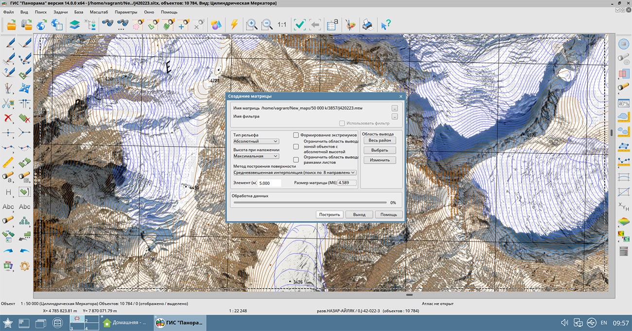
Algorithms of data storage of type "a cloud of points" in data sets of format MTD have been improved. Packing of the data, taking into account the area of processed territory and the specified accuracy of storage, allows to reduce to 4 times the size of created MTD files which can be from several tens of Gigabytes to Terabytes. New algorithms allow to raise accuracy of terrain descriptions over a wider area and accelerate the construction of 3D terrain models.
Display of raster data limited by a framework has been improved. The image of such rasters is cut out by a contour of a frame of any complexity. The frame can be set by any closed contour, or by a selected object. The frame can contain thousands of points and thousands of contours, as well as many times exceeds the raster by the area. A large number of frame points decreases the speed of displaying the raster. To speed up the display of rasters, an optimization of the raster frame during recording has been added - all frame contours are cut out by the sizes of each raster. When setting a region frame to all rasters of a region's coverage an optimized frame is written to each coverage raster. When opening the rasters and matrixes of heights created earlier, frame optimization is performed automatically (the sign of frame optimization is entered into the file). This approach allows you to speed up the display of both new raster data and previously created ones.
Display of clusters used for grouping point conventional signs on a map has been improved. Into the cluster description the property "Display the first character in the cluster" has been added. Placing it in the position of the cluster sign will first display the first object in the cluster and then the cluster icon. In this case, the cluster icon can contain only the number of objects or other complementary elements of the conventional symbol. When drawing an object, various semantics can be taken into account, including links to graphic files, which makes the generalized sign more complex and informative.
In the task "Saving a vector map to files of graphic formats", an export of an image of an open document into the KMZ format has been added. The formed KMZ archive contains the KML project file and a set of raster tiles pyramid for the saved territory. The KML file contains a description of the raster data parameters - the names and coordinates of the rasters binding, as well as the priority of their display. In addition to the KMZ format, the task can save images into BMP, TIFF, JPEG, PNG and RSW formats. A fragment of a digital map document of any type and composition can be saved, including vector maps, images and matrices, as well as geospatial data from external Internet resources (WMS and WFS - services) and databases. In the task, it is possible to save the map image by the selected area, by the page format and by the dimensions of the selected objects, for example, by the dimensions of the frames of the nomenclature sheets.
The display of elevations matrixes has been improved: the color of the coverage point is calculated based on 16 adjacent heights using the bicubic interpolation method. The new method makes it possible to smooth the discreteness of the display of the matrix elements and the light-shadow mask (hillshade) of the relief, as well as to crop the matrix image by the frame with pixel accuracy. The mode "Show all objects" has been added. This mode is intended for displaying all map objects without taking into account the boundaries of objects visibility and the contents of the map display.
The set of possibilities for creating user's applied tasks has been expanded. In the updated set of developer tools, you can add items to the main menu of the application. Thanks to this, application tasks created by the developer can be called not only from their own panel, but also from the main application menu, along with standard tasks. This provides quick access to functionality written to solve specific user problems.
Displaying sea maps of S57/S52 standards has been improved. In the s57navy.rsc classifier for attributes that have a list of classified values (Attribute type: L - CATAIR, CATACH, ... TECSOU), property the "Repeat allowed" is set. When exporting and importing data, lists of attribute values (1,7,, 30) are written and read. For display of lists of values, into the combined title the new operating symbol ' r ' (#113.r) has been added, which allows to form a line from the list of attribute values, separating them with a space. There is refined a display of depth marks taking into account safety contours and taking into account depths on drying surfaces.
GIS "Panorama" can be used to create and edit digital topographic, sea, aeronautical and other maps and city plans. The program contains a professional digital map editor, which includes a large number of modes: creating objects, auto shapes, graphic objects, topology and many others. GIS "Panorama" allows you to combine vector, raster and matrix data in different projections (with performing the transformation on the fly) and use them as a basis for making calculations: obtaining information about the length, area of map objects and arbitrary polygons, building an orthodrome and loxodrome, zones around selected objects, intersection of objects, determination of emptiness, finding the distance between map objects, searching for points on the contour, searching by point, azimuth and distance, performing calculations by matrix of heights.
Using the "Road net" task, users can search for the minimum route between two nodes, taking into account the values of the semantic characteristics of the network edges, find objects within a specified distance from the specified node (remoteness graph) and determine the minimum path between several specified nodes.
GIS "Panorama" supports import of data from the most popular formats: vector maps SXF, TXF, DIR, SHP (Shapefile), DXF (AutoCAD), OGC GML (XML), KML (Google), S57 and others; raster data (RSW, BMP, JPEG, PNG, GeoTIFF, TIFF); matrixes of heights and matrixes of qualities MTW, MTQ, GRD, SRTM, GeoTIFF; geological matrixes of layers, TIN models and laser scanning data (point cloud in MTD format); navigation data GPX; aeronautical data ARINC-424.
The user can print open data to various output devices with customizable print parameters. Vector data can be exported into exchange formats SXF, TXF, DIR, SHP (Shapefile), OGC GML (XML) S57, ARINC-424 and others; raster data - in RSW, BMP, JPEG, PNG, TIFF formats.
GIS provides the ability to directly connect to large spatial databases containing millions of records for display and editing in the form of vector maps in cartographic conventional symbols. The program includes tools for creating three-dimensional models of various degrees of detail, including tools for importing models in the Collada (dae) format into DB3D format, models in the OBJ format, models in the TLS (Agisoft Tiled Model) tile format, point clouds in the Agisoft OC3 format.
The multiuser access to the remote data with control of access by means of connection to the is supported. GIS Server provides remote access to vector maps, remote sensing data, matrices, documents, spatial databases and pyramids of tiles in the formats GPKG, BIR, Mbtiles. Connections to popular geoportals are supported, which allow displaying user maps over images received from the sites OpenStreetMap (Map), Yandex (Sputnik), Yandex (Map), Rosreestr, Kosmosnimki, Monitoring of aircraft movement and others.
On the basis of GIS "Panorama", the Complex of solving aeronautical tasks can be used, designed to create and maintain a database of aeronautical information, generate aeronautical maps, design flight routes for aircraft, exchange data with other information systems. The complex allows calculating flight routes, analyzing objects of the airfield and the surrounding area for their impact on air traffic safety.
The geographic information system is built on a multi-platform multi-threaded kernel for Linux, QNX, Android, MS Windows with support for Intel/AMD, Elbrus, ARM, PowerPC, SPARC, MIPS and others processors.
The new version of the program is available for download in the section.


Specialists of KB "Panorama" prepared and placed the map of the Republic of Bulgaria on the geoportal . The map was formed using OpenStreetMap data, source data was obtained from website. To work with the map, you can use the program or other software products of KB "Panorama".
The map was led to the modernised classifier of large-scale plans of scale 1: 5 000 (map5000m) and was saved into a packed project (MPTZ). The MPTZ format project includes a digital map of the region's territory (country, subject of the federation, administrative region), a map of the administrative-territorial division of the region and a digital classifier. Publishing of updates in bank of spatial data is made by using the program of . Publishing contents of bank of spatial data on the geoportal and data access for downloading are implemented by means of .
Free maps on the basis of OpenStreetMap data are available for download on the page "Digital maps".


Specialists of KB "Panorama" have prepared a video lesson about working the mode " in the "Workstation of agronomist". For effective management of agriculture, it is necessary to know the real size of the sown area which the enterprise has. It is not uncommon for farm managers and agronomists to know the size of their fields only approximately, which negatively affects the accuracy of calculating the necessary fertilizers, plant protection products and calculating the yield.
Resource-saving technologies, including precision farming, involve working with digital field maps. This is a spatial database on the basis of which almost all agrotechnical operations in precision farming are carried out.
"Automatic determination of the contours of arable land" mode allows you to significantly speed up the process of creating digital maps of farmland. Information processing is carried out on a local territory bounded by a polygon or rectangle indicated on the map.
The construction of a vector model of working areas of arable land is carried out on the service in GeoJSON format based on automatically selected actual data of average (10 m/px) and high resolution (1.2 m/px). The obtained results are imported using the mode.
You can get acquainted with the training materials in the "Video lessons" section.


Ph.: +7 (495) 739-0245, +7 (925) 221-1603
www.gisinfo.ru | panorama@gisinfo.ru
105005, Russia, Moscow, Baumanskaya Street 7, building 1, office 229 (m. Baumanskaya)
Copyright © Panorama Group 1991 - 2024


 Mobile version
 Full version