Copyright © Panorama Group 1991 - 2024

In KB "Panorama" the version 10.1.5 has been developed. The new version of the program adds support for large volumes of spatial data (satellite images, DEMs, vector maps), consisting of hundreds of millions of objects, trillions of points and occupying more than 4GB of hard disk space in one file. In KB "Panorama" a tiled background was created on to the territory of the entire Globe in the form of a multiscale project of spatial data. It consists of more than 6500 maps and matrices of various scale ranges from 1: 1 000 000 до 1: 5000. The total amount of data on the hard disk was 35 GB. In total, about 250 000 000 tiles were created, occupying about 10 TB of disk space. Tiles were formed on a 10-core Intel i9-9820x server with a clock frequency of 3.3 GHz, 64 GB of RAM in the Ubuntu 18.04 operating system. The total time for tile formation is 2 days 12 hours. The speed of forming tiles by Imagery Creator is comparable to the speed of copying data from disk to disk. The project is published in and and is available for review at the link .
Imagery Creator allows you to create tiles in the formats JPEG, PNG, PNG8, Mbtiles, BIR and GeoPackage according to the international standard OGC WMTS 07-057r7 version 1.0.0, TMS standard and OGC 12-128r15 GeoPackage version 1.2.1. Tile data generated by Imagery Creator is used by the GIS WebServer SE, GIS WebService SE software products to provide a high speed of execution of queries on the display of spatial data over vast territories with the simultaneous access of a large number of users.
The new version of the program is available for download on the page.


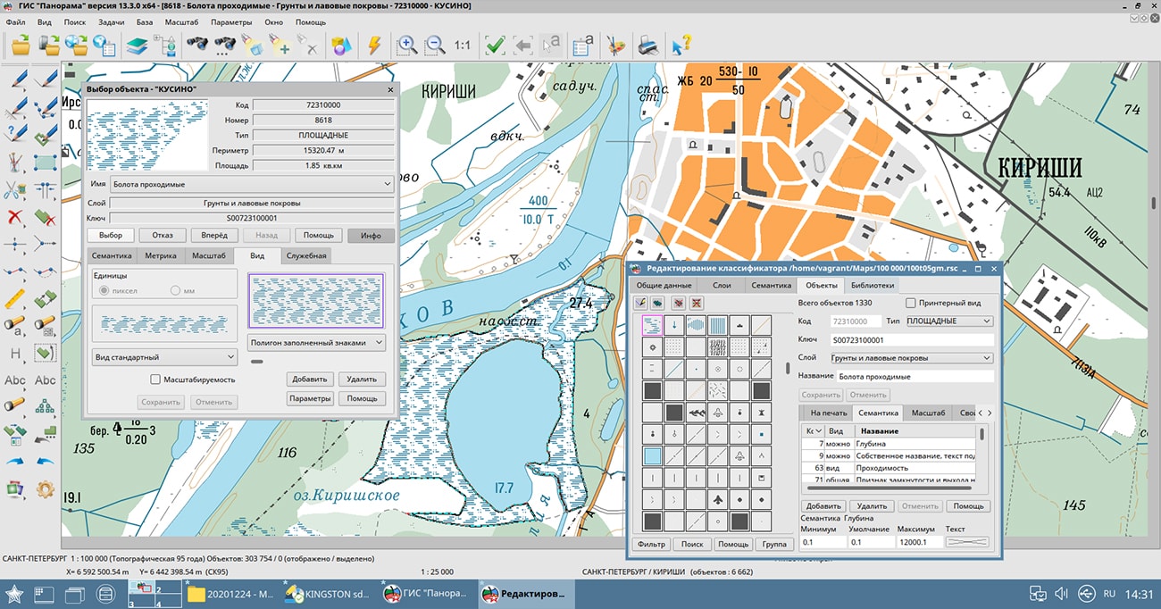
In KB "Panorama" the version 13.3.0 has been developed for OS Astra Linux SE (Release "Smolensk") in Russian and English languages. The program includes updated classifiers of digital state topographic maps of scales 1: 25 000, 1: 50 000, 1: 100 000, 1: 200 000, 1: 500 000, 1: 1 000 000. In new classifiers, conventional symbols of map objects can change properties (for example, increase or decrease the thickness of the road with a certain proportion and range of resizing) or remain unchanged (for example, the size of filling polygon signs and their density). Better support for multi-scale topographic maps is provided, along with automatic generalization of contours for different scales, setting the ranges of objects visibility, substitution of conventional symbols, building trees of displayed objects over the map area and other means. There is increased the the speed of display, the readability of the map, the quality of the reports being prepared.
In the "Map print" task, processing of new options for placing the printed map fragment on the printed sheets of the device has been added: "Split to pages", "Fit to page", "Accord to page", "Stretch horizontally", "Stretch vertically". Depending on the selected mode of placing images on pages, the printing scale is automatically recalculated. In the "Map contents" task, the work with the list of displayed map objects has been accelerated. In the "Data list" dialog, the ability has been added to customize display of matrixes of heights, qualities and layers by frame.
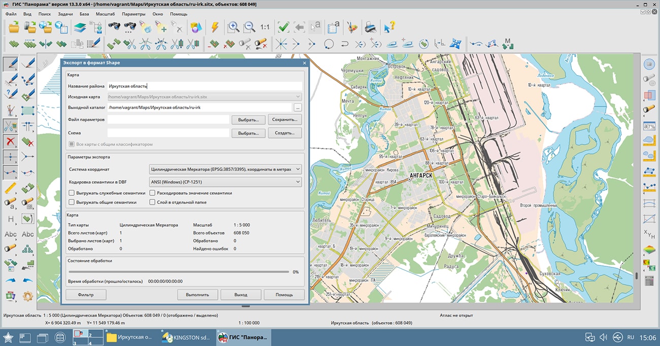
The functionality of import/export of spatial data into exchange formats has been expanded. In the new version of the dialog for importing models in the DB3D format, spatial data of TLS, OC3, DAE, OBJ can be imported by a set assembled from various catalogs, with the ability to interactively select the composition of files. Possibility has been added for selecting a coordinate system of a binding the imported model: from the list, from a file of the metadata and EPSG database. For the COLLADA (DAE) format, data loading can be performed in one of several provided modes, depending on the mode of geometry analysis. For each level of the model, the user can select an individual texture value. In the task of importing matrixes from the SRTM, GeoTIFF, IMG formats, the ability to eliminate undefined heights by mode of linear interpolation of neighboring known values has been added. In the dialog for importing graphic files from BMP, PNG, JPEG, TIFF, GeoTIFF, IMG formats, the user is provided with extended information about the source file: data type, minimum and maximum channel data values, interpretation method, projection parameters and coordinate systems. To optimize the import of large graphic files, it is possible to create an output file without copying data; in this case, raster data will be read directly from the source graphic file.
The emercom.v2.rsc classifier has been updated, designed to create electronic maps of emergency situations. For accounting objects under the jurisdiction of the Ministry of Emergencies, and highlighting these objects with special conventional symbols, the following objects have been added: "Label of an object under the jurisdiction of EMERCOM", "Label of an object under the jurisdiction of theEMERCOM (simplified)", "Building under the jurisdiction of the EMERCOM".
GIS "Panorama" provides users with tools for accumulation, storage, automated processing and display of data, calculation results and forecasts with geospatial reference. The system allows you to create vector, raster and matrix maps, as well as promptly update various information about the area. The geoinformation system is built on a multi-platform multi-threaded core for Linux, QNX, Android, MS Windows with support for Intel/AMD, Elbrus, ARM, PowerPC, SPARC, MIPS and others.
The new version of the program is available for download in the section.


In KB "Panorama" the version 13.6 has been developed. The new version introduces changes into the registers and reference books of the database of documents, materials and urban planning information. Registers of special data are maintained in order to streamline information by sections of the state ISOGD (Information System Designed for City Planning). To earlier existing registers: "Land plots", "Objects of capital construction", "Engineering communications", there are added the new thematic registers: "Borders of engineering researches", "Artificial land plots", "Zones with special conditions of use of territory", "Ground and underground communications", "Specially protected natural territories", "Forest areas" and "Servitudes". Between registers the spatially-logic links providing fast and evident search of the necessary information have been established.
To record incoming information, documents and materials received for placement into the state ISOGD, the "Account register" has been developed. Files related to information, documents, materials or their scanned copies are attached to registry accounts. To systematize and conveniently record information, specialized reference books and classifiers have been developed in accordance with the Decree of the Government of the Russian Federation №279 dated March 13, 2020 "On information support for urban planning activities."
Urban planning information, placed in specialized sections of State ISOGD, is ordered by administrative-territorial division (ATD). In addition to binding to ATD, documents, materials and information placed in the database have a spatial reference due to spatial-logical links with the objects of the digital map. There is provided an automatic filling of the register of land plots with files of documents and materials by means of the "Streaming documents loading" mode.
Description of the contours of boundaries and attributive information of land plots and real estate objects is formed on the basis of electronic XML documents from the Unified State Register of Real Estate. For up-to-date data schemas, the mode "Reading the cadastral plan of the territory and updating the map" is used, and for outdated information - the mode "Create objects from the XML file of the real estate cadastre".
The new version of the program is available on the website in the Download section.


The specialists of KB "Panorama" prepared and placed on the geoportal a map of the Omsk region. The map was formed using OpenStreetMap data, source data was obtained from Geofabrik website. To work with the map, you can use the program or other software products of KB "Panorama".
The map was led to the modernised classifier of large-scale plans of scale 1: 5 000 (map5000m.rsc) and was saved into a packed project (mptz). The MPTZ format project includes a digital map of the region's territory (country, subject of the federation, administrative region), a map of the administrative-territorial division of the region and a digital classifier. Publishing of updates in bank of spatial data is made by using the program of . Publishing contents of bank of spatial data on the geoportal and data access for downloading are implemented by means of .
Free maps on the basis of OpenStreetMap data are available for download on the page "Digital maps".


In KB "Panorama" the "Workstation of cadastral engineer" version 13.6.0 has been developed. The new version has improved the tools of information interaction with the Unified State Register of Real Estate. The "Search by cadastral number or address" mode has been updated. Ability has been added to select a search source by the map or by generating queries in the EGRN. At a positive reply on request in EGRN, the "Information from the State Real Estate Cadastre" dialog will be displayed. For positioning the map to the location of the cadastral object, geocoding by address is automatically performed. For direct address geocoding by means of external services, it is necessary to specify an API-key of access to service.
The dialog "Information from the State Real Estate Cadastre" has been improved, support for the API functions of the apirosreestr.ru service for accessing data has been implemented. The mode provides sending requests to the EGRN to obtain information about the cadastral objects available at the specified point on the map. The obtained information is displayed as a list of cadastral numbers on the corresponding bookmarks of the dialog. When a specific cadastral number of an object is selected from the list, a request is generated to obtain public cadastral information about a quarter, land plot or real estate object. The received information is displayed in the dialog. The "Premises" bookmark has been added to display information on premises, apartments and parking lots.
"Workstation of cadastral engineer" provides direct display and editing of arbitrary spatial databases in cartographic conventional symbols, including those created by other GIS, without additional third-party modules based on direct interaction with PostgreSQL and Oracle DBMS through SQL queries. In the new version, the tools for viewing and editing tables of attributes of spatial databases have been expanded. Modes are added: select/cancel linked objects, show records for selected objects, show information about a map object for the current record. In dialog the tools for convenient viewing the table with a large amount of data are added: customization of the order of displaying columns, change of their width, setting the visibility status of columns.
In the "Map Editor" task, the composition of the "Graphic Objects" panel has been expanded: modes have been added for controlling the color, scale, transparency of the conventional symbol of the object selected on the map. In the mode of editing common vertexes the function of capture of nodes of other objects ('K') has been added. In the mode of union of selected line objects, the option "Create polyline" has been added to combine the selected line objects into one object.
In the "Reading the cadastral plan of the territory and updating the map" mode, the algorithm for updating the data on the cadastral map has been changed. The speed of searching for existing objects on the updated cadastral map for their processing has been significantly increased.
In the dialogs "Land survey plan" and "Technical plan", the tools of obtaining an address from FIAS have been improved. There are added checks for individual geonyms in terms of mismatched values with the classifiers used in the EGRN. A check for type of settlement has been added for displaying the name into the necessary positions of dialogs, for a city into the "City" position, for all others into the "Settlement" position.
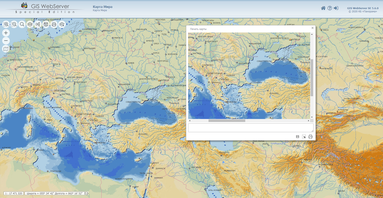
"Map print" dialog has been improved. Ability has been added to limit the display area of the map by the border of the selected areal or closed line object. In this case, you can set the degree of transparency of the map display outside the borders of the main contour of the object from 0 (source image) to 100% (completely filled). This mode is called through the context menu in the "Map print" dialog by pressing the "Select area by object" button.
The survey.v5.rsc classifier has been updated, intended for the cadastral map used in information interaction with the FSIS EGRN and in the preparation of cadastral documents. In the classifier the list of objects has been expanded, for which the semantics "Floor type" (code 1119) has been added, which is necessary for preparing technical plans for the creation and formation of real estate objects, parts of real estate objects, as well as technical plans for changing information about real estate objects and their parts.
The new version of the program is available on the website in the Download section.


Ph.: +7 (495) 739-0245, +7 (925) 221-1603
www.gisinfo.ru | panorama@gisinfo.ru
105005, Russia, Moscow, Baumanskaya Street 7, building 1, office 229 (m. Baumanskaya)
Copyright © Panorama Group 1991 - 2024


 Mobile version
 Full version