Copyright © Panorama Group 1991 - 2024

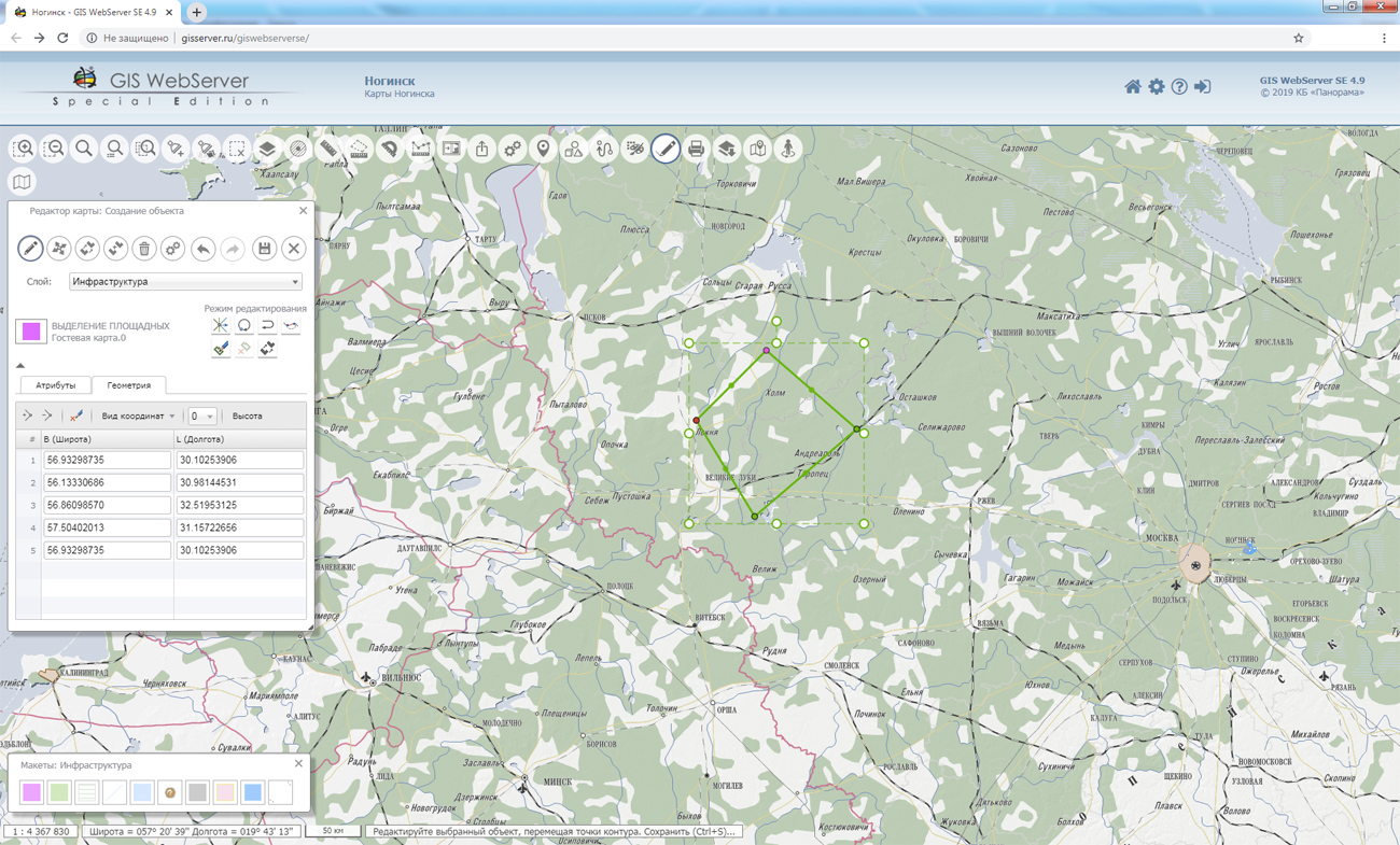
In KB "Panorama" the version 12.6.0 is developed. In the new version a fault tolerance of execution of the user requests to the spatial data located on the is increased. The speed of receiving a large volume of transactions has been increased. There is added a setting of internal server parameters - the number of simultaneously connected users, the number of critical errors in connecting to the service. Support for multithreaded drawing of projects is improved. Taking into account the parameters of elevations matrixes during the formation of tiles is implemented. Support of the maps is added that consist from insets (an array of geospatial data organized as nesting and limited by a frame).
In order to improve the interaction of the service with other clients, a setting has been added for interpretation of the input coordinates: latitude/longitude or longitude/latitude, both for the entire service and in individual requests. User interface for setting parameters for working with the service is improved.
GIS WebService SE supports all international standards (OGC WFS, WFS-T, WMS, WMTS, WCS), with the help of which the transmission and display of spatial data is carried out. The program has the ability to issue tiles by any user or local coordinate system. The application is implemented on Windows and Linux platforms, is compatible with Apache, IIS and nginx web servers.
The new version of the program and documentation are available on the website in the section.


Specialists of KB "Panorama" prepared the video lesson . It is intended for the English-speaking users independently studying possibilities of the . In this lesson the possibilities for export of vector maps into Shapefile format are demonstrated.
The training material acquaints users with features of work the "Export to Shape format" task, which includes setting the attribute fields and processed data, coordinates format, encoding, and other modes. The attributes of the objects are written into the DBF file, and the coordinates of the objects are recorded in the WGS-84 geodetic system in degrees. If you are exporting a large-scale plan with unknown projection parameters, then the coordinates are recorded in meters in the local system. For the convenience of work, it is possible to save user settings.
Previously the video lessons of this series were published: , , , , , , and others.
You can get acquainted with training materials in English in the section .


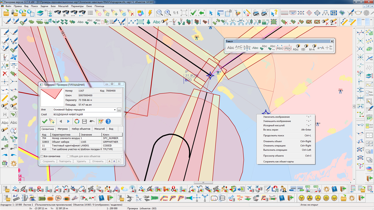
In KB "Panorama" the version 7.2 for the x64 was developed. In the new version the algorithms are improved for drawing SID/STAR/IAC aerodrome routes maneuvers with possibility of specifying the temperature amendment for calculation of turns. There are updated the algorithms for drawing schemes of designing for aerodrome routes taking into account map projections in the polar regions and the western hemisphere. The database, which is part of the complex, is filled with current aeronautical data on the territory of Russia. On the basis of the data of the air navigation situation of the Russian Federation, new demonstration maps, examples and reports have been prepared. AIXM converter has been improved.
Complex of preparing documents of the aeronautical information is intended for the creation and maintenance of a database of aeronautical information, the formation of aeronautical charts, the designing of flight routes for aircraft and the exchange of data with other information systems. Information exchange is carried out in ARINC and AIXM 5.1 formats. The main source of aeronautical information is the aeronautical data base created on the basis of the Aeronautical Information Conceptual Model (AICM), with additions for storing the planned information and the results of the route designing. The model is recommended by the international organization for planning and coordination of air traffic "Eurocontrol".
The new version of the program, examples of documents of aeronautical information, the operational documentation, video lessons and presentations are available for download on the page.


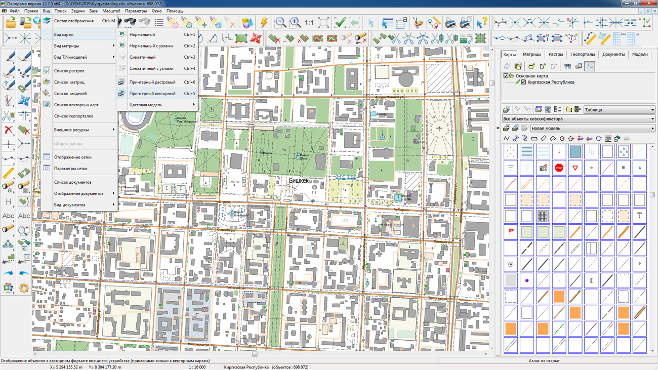
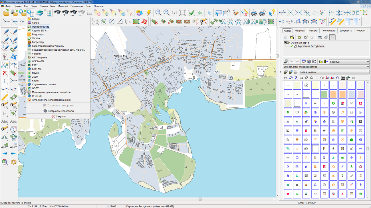
On the geoportal , the maps of the Kyrgyz Republic and the People’s Republic of China, which were formed according to OpenStreetMap data, were updated. The source data was obtained from the website. For work with the maps it is possible to use the program of or other software products of KB "Panorama".
The maps were led to the modernised classifier of large-scale plans of scale 1: 5 000 (map5000m.rsc). Publishing of updates in bank of spatial data is made by using the program of . Publishing contents of bank of spatial data on the geoportal and data access for downloading are implemented by means of .
Free maps on the basis of OpenStreetMap data are available for download on the page "Digital maps and images".


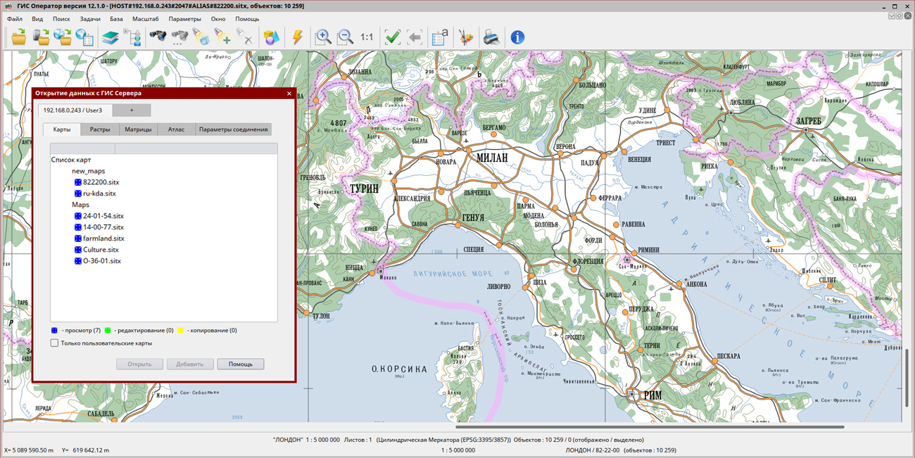
In KB "Panorama" the version 8.7.6 is developed for OS Astra Linux SE (Release "Smolensk"), CentOS and "Zarya-Data Center". The new version improves the reliability of multi-channel connections with GIS Server clients. Algorithm of processing faulty connections for an excluding blocking of the server is changed. Connection of large spatial databases, displayed and edited in the form of vector maps in conventional symbols is improved. Loading of the databases containing tens of millions of records is accelerated. Reliability of updating records on the client is increased when editing objects. Loading the metadata of data sets into the is improved.
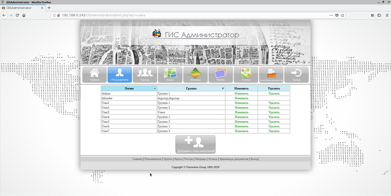
Interface of the user is improved. An opportunity has been implemented in the GIS Administrator to connect a shared virtual folder for vector maps, rasters and matrices. Support of insets in reports is added. For this purpose, maps are placed into a virtual folder.
There is added the transfer of the frame of data sets on the scheme of the materials availability into the range -/+ 180 degrees by latitude. The algorithm for clients requesting large lists of objects updated on the server has been improved. There is implemented the ability to build vector geocovers of sea charts of the S57 format, raster geocovers from the IMG, PCX formats.
GIS Server SE within the framework of a single geographic information space provides multi-user access to spatial data for application servers () and desktop clients (, and others). The program gives users the opportunity to make changes to geospatial databases through the graphic interface of the GIS "Panorama", by tools of editing digital maps of the area. At the same time, the GIS Server SE monitors the changes in these databases that are performed by any external applications. Multi-level connection of servers among themselves is supported for distributed storage and processing of spatial data with automatic replication, backup and data protection.
New versions of programs are available for download on the website in the section.


Ph.: +7 (495) 739-0245, +7 (925) 221-1603
www.gisinfo.ru | panorama@gisinfo.ru
105005, Russia, Moscow, Baumanskaya Street 7, building 1, office 229 (m. Baumanskaya)
Copyright © Panorama Group 1991 - 2024


 Mobile version
 Full version