Copyright © Panorama Group 1991 - 2024

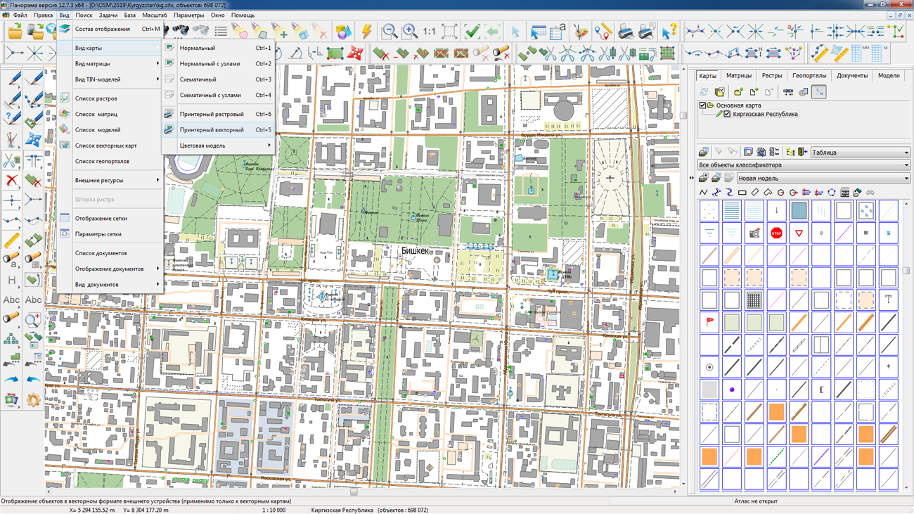
On the geoportal , the maps of the Kyrgyz Republic and the People’s Republic of China, which were formed according to OpenStreetMap data, were updated. The source data was obtained from the website. For work with the maps it is possible to use the program of or other software products of KB "Panorama".
The maps were led to the modernised classifier of large-scale plans of scale 1: 5 000 (map5000m.rsc). Publishing of updates in bank of spatial data is made by using the program of . Publishing contents of bank of spatial data on the geoportal and data access for downloading are implemented by means of .
Free maps on the basis of OpenStreetMap data are available for download on the page "Digital maps and images".


In KB "Panorama" the version 8.7.6 is developed for OS Astra Linux SE (Release "Smolensk"), CentOS and "Zarya-Data Center". The new version improves the reliability of multi-channel connections with GIS Server clients. Algorithm of processing faulty connections for an excluding blocking of the server is changed. Connection of large spatial databases, displayed and edited in the form of vector maps in conventional symbols is improved. Loading of the databases containing tens of millions of records is accelerated. Reliability of updating records on the client is increased when editing objects. Loading the metadata of data sets into the is improved.
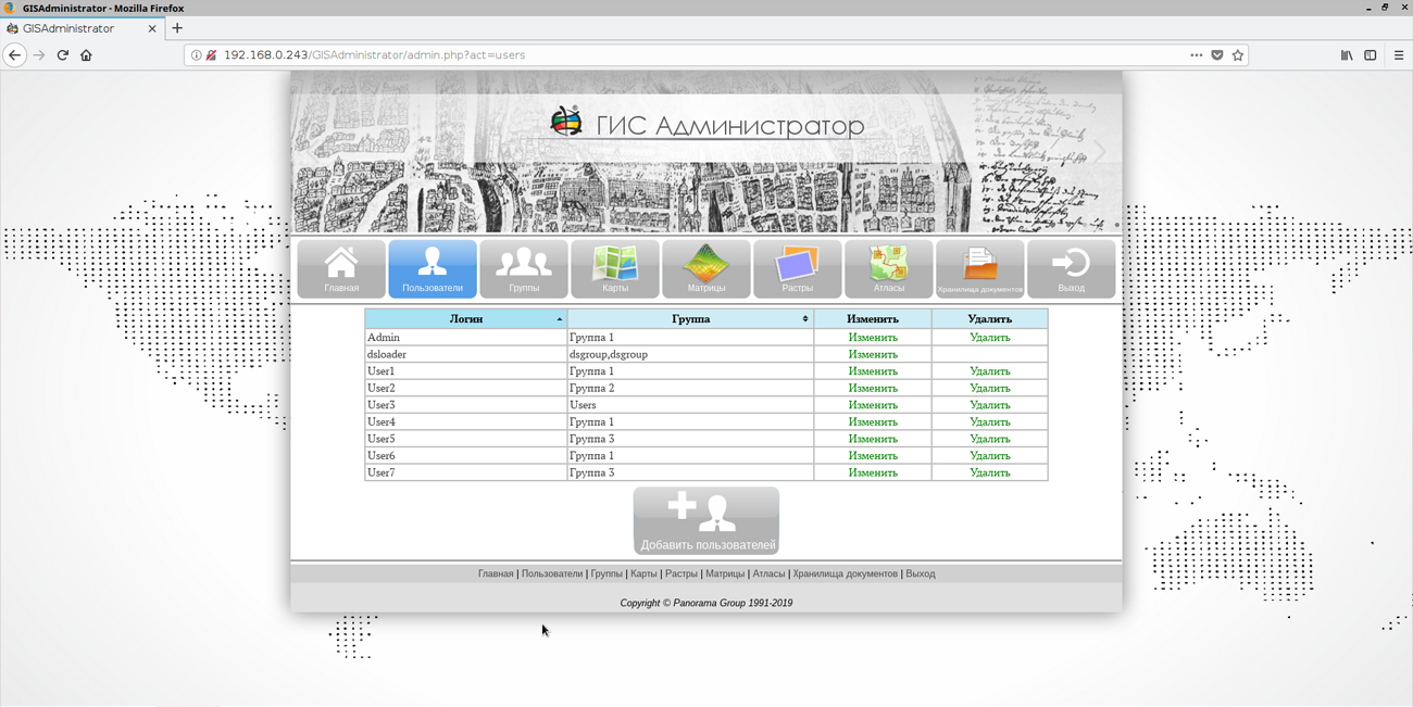
Interface of the user is improved. An opportunity has been implemented in the GIS Administrator to connect a shared virtual folder for vector maps, rasters and matrices. Support of insets in reports is added. For this purpose, maps are placed into a virtual folder.
There is added the transfer of the frame of data sets on the scheme of the materials availability into the range -/+ 180 degrees by latitude. The algorithm for clients requesting large lists of objects updated on the server has been improved. There is implemented the ability to build vector geocovers of sea charts of the S57 format, raster geocovers from the IMG, PCX formats.
GIS Server SE within the framework of a single geographic information space provides multi-user access to spatial data for application servers () and desktop clients (, and others). The program gives users the opportunity to make changes to geospatial databases through the graphic interface of the GIS "Panorama", by tools of editing digital maps of the area. At the same time, the GIS Server SE monitors the changes in these databases that are performed by any external applications. Multi-level connection of servers among themselves is supported for distributed storage and processing of spatial data with automatic replication, backup and data protection.
New versions of programs are available for download on the website in the section.


On October 25, a round table was held at the Analytical Center for the Government of the Russian Federation on the topic . KB "Panorama" took an active part in this event. Our specialists demonstrated the presentation "Cadastral systems and FIAS. Ways of improvement" and voiced a number of proposals aimed at improving FIAS.
Federal Information Address System (FIAS) is the federal state information system that provides the formation, maintenance and use of the state address register. FIAS data are used in such software products of the KB as , , . In addition, KB Panorama has implemented a number of special projects with use of this address database.
As part of the round table, the experts discussed the existing difficulties in working with the Federal Information Address System in terms of filling out, updating, interacting with organizations and departments involved in the address assignment process. The event was attended by representatives of federal executive bodies, IT-companies, expert organizations. Following the discussion, the Analytical Center will prepare proposals for the development of FIAS, which will be sent to the Ministry of Digital Development, Telecommunications and Mass Media of Russia and the Federal Tax Service.

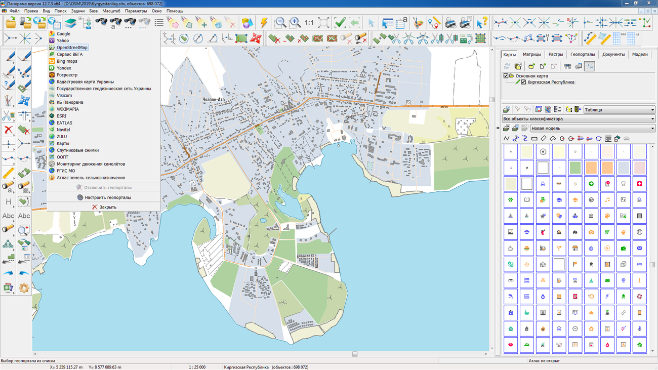
In KB "Panorama" the version 12.1.0 is developed for operating system Astra Linux SE (Release "Smolensk"). In the new version, the connection of external geoportals via OGC protocols is improved. A dialog of opening the data using the WFS protocol was added, with which the user can view the list of available layers on the geoportal, select the necessary ones and add them to display as part of open spatial data. If the required classifier is missing when opening external data, the data will still be reliably created with the default classifier 100t05g.rsc. Loading the xml/gml files of large volume is supported, for what the data from the geoportal are downloaded in parts due to several requests. At any time, the user can clear the current data cache from geoportals by means of a combination of keys.
Support of a new geoportal Flightradar24 is added for realisation of monitoring the movement of aircraft. To view the current position of the aircraft it is necessary to connect a geoportal "Monitoring the Air Traffic", to set the necessary period of updating, for example 5 seconds, and to enable the property "Update of WMS layers". In the process of monitoring, you can see the properties of the selected flight: airport of departure and arrival, travel time, model, speed, direction of movement, altitude and other parameters. Aircraft on the map are displayed with various conventional symbols depending on their model, dimensions, seating capacity. In total into the classifier service.rsc 16 new conventional symbols were added. Among them, such lines of aircraft as: SuperJet, TU, IL, Airbus, Boeing, Bombardier, Dassault aviation and others. The user can change the image of conventional symbols and expand the list in the "Classifier Editor".
New property "Save time and date of object update" is added in the dialog of creating a new map. If the map is created with the specified property, then into each object, when creating and editing, service semantics are automatically recorded with the date and time of the performed operation and with the name of the operator that performed the operation. The specified property can not be disabled. The task of creating objects according to the template has been improved. Appearance of dialog the "Geoportals list" is improved.
Display of rasters with cut-off of images by a frame is improved. There is improved the accuracy of the image cut-off for different scales of display. It allows to display more precisely a mosaic of rasters without discrepancies and imposing of images of the adjacent rasters at scaling. New implementation of forming the images of the reduced copies of a raster allows to improve detailed elaboration of the general image.
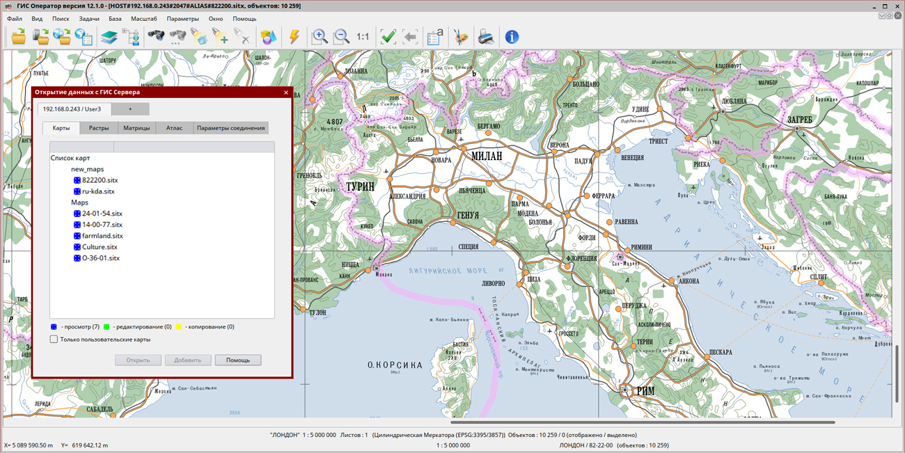
GIS "Operator" is an universal domestic geoinformation system for power structures. The program is intended for accumulation, the storage, the automated processing and displaying the data, results of calculations and the forecasts having a geospatial binding. GIS "Operator" contains tools for displaying and processing vector, raster and matrix maps. The application provides users with tools for solving specialized tasks of modeling the movement of special objects against the background of 3D model, a forecasting the consequences of emergencies on hazardous objects, a monitoring the movement of aircraft, a performing the geodetic and topographic work, processing data from GPS/GLONASS navigation devices, a printing the displayed spatial data to various output devices and many others. GIS "Operator" SE is certified by the 2nd level of control of the absence of undeclared capabilities in the RF Ministry of Defense.
The new version of the program is available for download in the section.


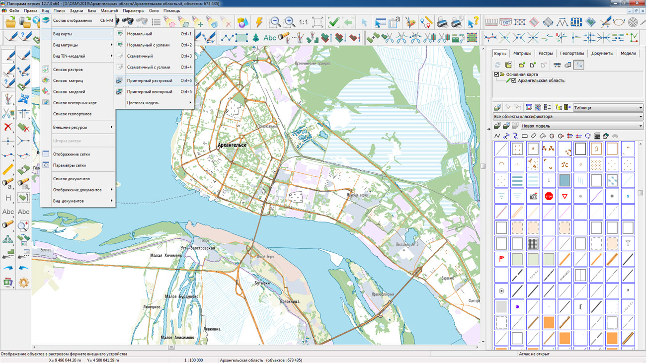
On the geoportal , the maps of regions of the North-West Federal District, which were formed according to OpenStreetMap data, were updated. The composition of the maps includes Arkhangelsk, Vologda, Leningrad, Murmansk, Novgorod, Pskov regions, the Republic of Karelia, the Republic of Komi, the Nenets Autonomous Okrug and others. The source data was obtained from the website. For work with the maps it is possible to use the program of GIS Panorama Mini or other software products of KB "Panorama".
The maps were led to the modernised classifier of large-scale plans of scale 1: 5 000 (). Publishing of updates in bank of spatial data is made by using the program of . Publishing contents of bank of spatial data on the geoportal and data access for downloading are implemented by means of .
Free maps on the basis of OpenStreetMap data are available for download on the page "Digital maps and images".


Ph.: +7 (495) 739-0245, +7 (925) 221-1603
www.gisinfo.ru | panorama@gisinfo.ru
105005, Russia, Moscow, Baumanskaya Street 7, building 1, office 229 (m. Baumanskaya)
Copyright © Panorama Group 1991 - 2024


 Mobile version
 Full version