Copyright © Panorama Group 1991 - 2024

In KB "Panorama" the for the x64 platform is developed. The new version allows you to combine into a single project the data with different projections and coordinate systems consisting of maps, matrixes, rasters, geoportals and the attributive information from a database. The program provides access to numerous existing information resources and converts information into a user-friendly form (performs decoding, transformation and converting of the projection). Displaying rasters and matrixes with the recalculation of coordinate systems (transformation) and/or turning on the fly is implemented. This allows you to display images and elevations matrixes together with geoportals and vector maps with different coordinate systems and rotate these images at an arbitrary angle (for example, in a navigation task). The display speed of rasters and matrixes with transformation and turn roughly corresponds to the usual display of rasters due to the use of multi-thread processing for multi-core processors and new data caching algorithms (display processes are accelerated 10 or more times).
The new task “Creation of passages in settlement” has been developed. The task is intended to create on the map additional linear objects that are passages in settlements. Passages are created between the adjacent quarters and the sides of the streets. The task performs the adjusting of created passages with each other, and also with road network objects available on a map. Construction of passages allows you to automate the creation of navigation maps, as well as to prepare maps for the implementation of generalization of the road network and settlements in the mapping of smaller scales.
The task “Quarters generalisation”, which is part of the software “Automated generalization of topographical maps”, has been implemented. In the process of generalisation, the automatic uniting of closely located same-type quarters and adjustment of quarters with linear objects of the road network is performed. When adjusting the quarters, the quarters are cut by streets and passages, taking into account the width of linear objects. The software "Automated generalization of topographical maps" is used to convert a map of the source scale into a map of a smaller scale (derived scale).
In the task of "Formation of out border decoration" the new elements of decoration are added: RSCTEXT2, RSCBAR2, RSCBOX2 and RSCLINE2. These elements extend the abilities of standard elements. At creation of lines and rectangles the possibility to specify two points of a binding to a map frame is added. At drawing a text a management of horizontal and vertical alignment is added.
The task of connecting geoportals is improved. The ability to set the offset for different geoportals is added. This option is necessary to set an exact match between the source data and the geoportal, which artificially introduces an offset.
In the "Select Object" dialog, there is improved a mode of editing the semantics the value of which is the file of ZIP format containing a set of packed files. At the reference to the corresponding semantics into a separate window the list of files contained in the ZIP archive is displayed. The file selected from the list will open in the corresponding program. The mode of saving documents (files referenced in the semantics of the object) in the storage on the has been improved.
If a document with the same name (for example, it was added to the semantics of another object) has already been recorded in the storage on the GIS Server, then it is proposed to update the document or save the document with other name. When you enter a new file name, it is renamed and re-saved to the GIS Server.
In the "Map Editor", the tools of combining objects into sets (logical groups) on the map are improved. Sets of objects are formed by addition to objects of attributes with number of objects set and type (the objects equal in rights, the main/subordinated object). When performing an operation of including an object into a set, the belonging of an object to several sets is taken into account. Depending on the specified processing mode, an object can be added either with exclusion from another set or without destruction of the set. The condition for the inclusion of an object into several sets at once is the presence of the repeatability characteristic of the service semantics 32802 (Subordinated object of group), according to which the combining operation is performed.
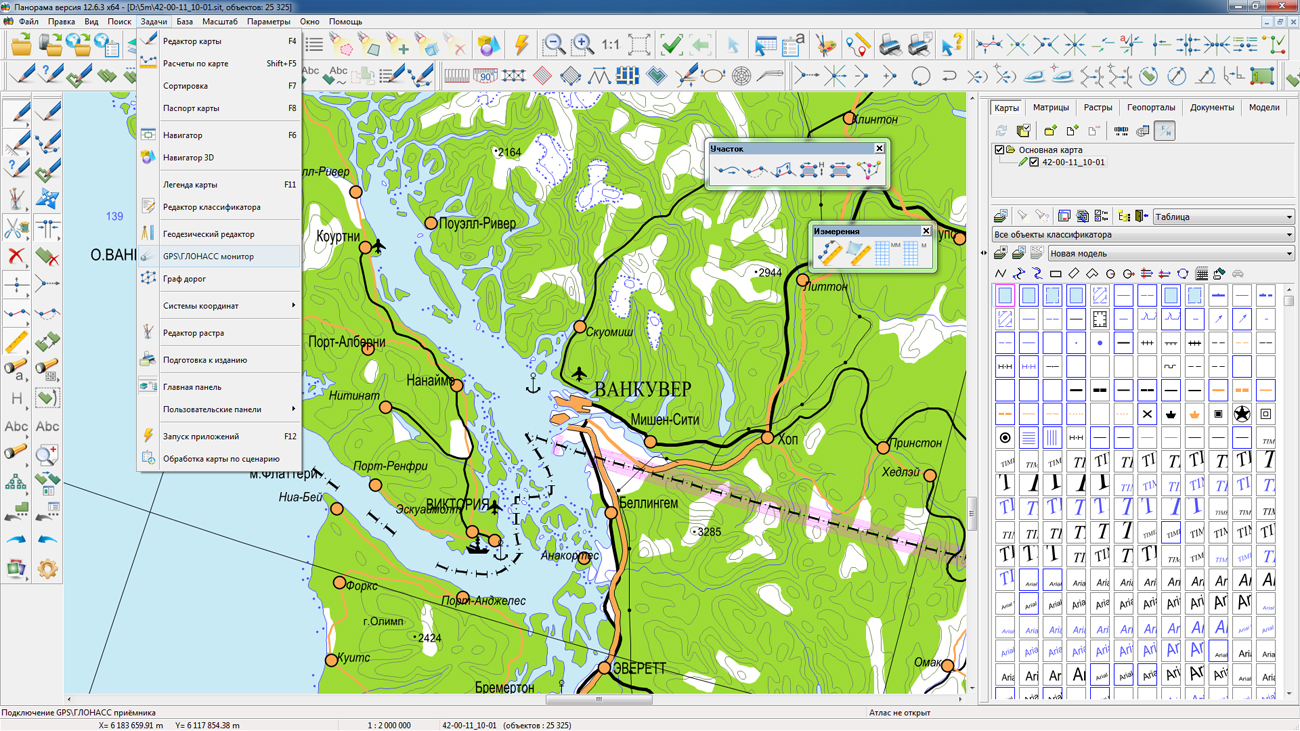
The task "GPS\GLONASS Monitor" has been improved. A function is added for determining the location by the data from the navigation receiver without configuring a virtual COM or USB port. The new mechanism of exchanging the navigation data is implemented using the Sensor and Location platform technology and it can operate under the control of the MS Windows 7 operating system and later.
The ability for adding into the document the maps, matrixes and rasters from any bookmark of the "Data list of map" dialog is implemented. To do this, in the filter of standard dialog for choosing the name of the map, you can select the line: "Maps, rasters, matrixes (*.map; *.sit; *.mtw; *.rsw)". Previously adding a certain type of data into a document was performed only from the corresponding bookmark of the "Data list of map" dialog.
GIS help system updated. The help system is located on the server for quick obtaining of reference information about the program's work. Help sections are organized in the form of HTML files that are displayed in a regular browser. The opening of help topics from the server has been added in the GIS. In case there is no access to the Internet, it is still possible to use the help system located in the local folder of the computer when installing the program. For a choice of used help system into section "Help" of the main menu of the program the item "Local help" is added. The new menu item controls the opening of the program's help files from the local folder of the computer or from the server. By default, the help in the program opens from the server.
The new version of the program is available for download in the section.


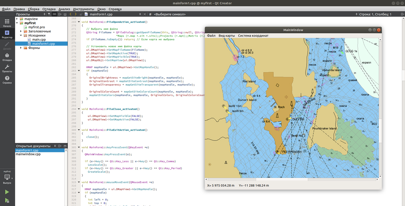
KB "Panorama" has developed the GIS Constructor for Qt Designer SE version 12.5 for the operating systems Ubuntu 16.04 LTS and Ubuntu 18.04 LTS. The new version offers a convenient environment for creating and debugging GIS-applications. The cross-platform of MAPAPI interface allows the programmer to develop and test GIS-applications in the Ubuntu operating system using the GIS Constructor. After that, the source code of existing applications can be recompiled for the target operating system for a wide range of devices: desktop and mobile. This will require a minimum of effort due to the preservation of interfaces of graphical components of the GIS Constructor and the interface for accessing the digital data MAPAPI.
Ubuntu is one of the most popular GNU/Linux distribution kits. Ubuntu operating system is focused on usability. It has a well-developed internationalization that ensures maximum accessibility for representatives of different language groups. Ubuntu is free software and is available for free.
GIS Constructor is a set of geoinformation components for use in the visual programming environment of Qt Designer, which allows you to develop your own GIS applications. The visualization of the contents of digital maps is made in conventional symbols adopted for topographic, geographical and various special maps. Geoinformation system has ample opportunities for performing calculations, for providing display of spatial data on various graphic devices in standard and user systems of conventional symbols. The main functions can be executed in multithreaded mode. It supports automatic optimization of used memory for processing large amounts of data (tens of gigabytes) on limited resources (hundreds of megabytes).
The toolkit is adapted to work on a wide range of platforms and supports operating systems such as Astra Linux SE, MSVS, CRTOS "Neutrino", "Elbrus", "Zarya", Ubuntu, Alt Linux, QNX, CentOS and others. It can be used in computer complexes with processors of architectures ARMv7, Elbrus, PowerPC, Intel x86, Intel x64 and others.
The new versions of programs are available for download in the section.


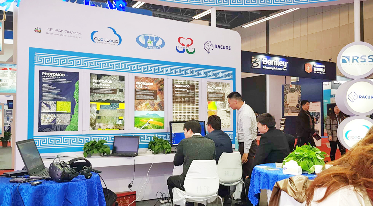
Specialists of KB "Panorama" took part in the work of the conference and the exhibition at the , organized jointly with the government of China. The UNWGIC Global Forum was held from 19 to 21 November 2018 in Deqing, Zhejiang Province, under the comprehensive theme “The Geospatial Way to a Better World” and promoted a comprehensive dialogue on global management by the geo-spatial information between authorities, non-governmental organisations, business and the population.
The exhibition featured a wide range of samples of special equipment and software solutions for collecting, processing and analyzing spatial data from leading companies in the world. At the stand of Russian manufacturers, specialists from China familiarized themselves with products of and . A large number of user questions were devoted to technologies of automated data processing, monitoring of changes in the terrain and the environment, three-dimensional modeling and management of urban infrastructure.
At the on-site seminar in Nanjing to Chinese colleagues, specialists from KB Panorama presented the capabilities of the "Geoportal Region" software package in the "Smart City" technology for maintaining a spatial data bank, publishing digital cartographic information, remote sensing data (Earth Remote Sensing), thematic information from databases, documents, navigation information, the organization of remote interaction with automated control systems, systems for monitoring the state of the terrain, transport management , providing urban problems, conducting land cadastre and real estate and others.
The Chinese organizers of the UNWGIC not only implemented comfortable conditions for transport accessibility, personal accommodation and work of congress participants, but also organized an environment of joint inclusive communication of all stakeholders to improve communication, understanding, knowledge and application of geospatial information management for solving the local, regional and global problems.


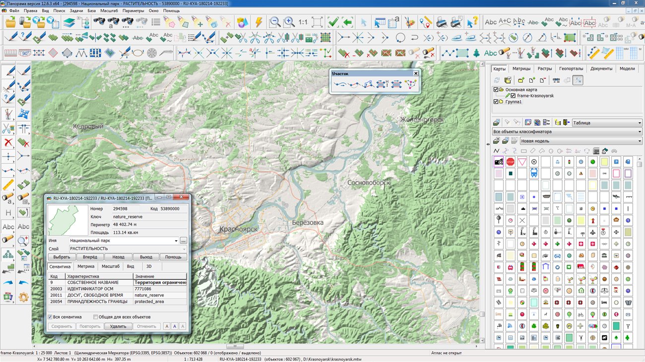
In KB "Panorama" a digital map of the Administrative-territorial division of Russia in the SXF format has been prepared. data served as source for map's preparation.
The map contains the territories of the federal districts, subjects of the Russian Federation and administrative-territorial units of the upper and lower levels. The total number of objects - 26 873.
It can be used to analyze and assess the territory of the Russian Federation and its subjects, assess the length of borders and as a basis for creating thematic and special maps. For work with the received map it is possible to use the program of or other software products of KB "Panorama".
Free maps on the basis of OpenStreetMap data are available for download on the page "Digital maps and images".


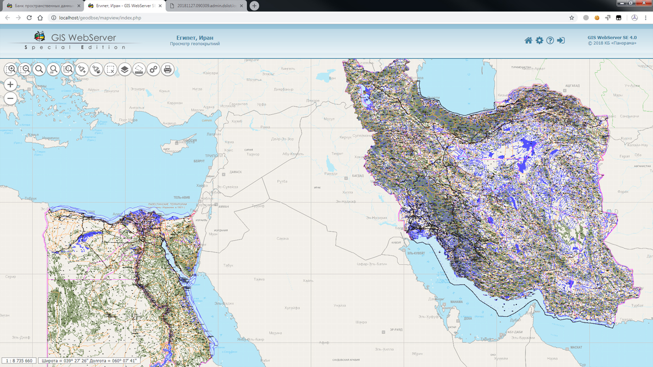
In KB "Panorama" the version 3.8.6 is developed. In the new version, work with geo-covers is optimized, that allows to combine various types of spatial data (vector, raster, matrix) among themselves and to browse them in a separate window. At browsing there are available the modes of search, printing, change of map contents, viewing the information on objects of a map. Possibility of deleting geo-covers is added.
In the new version, you can browse the short and complete logs of the operations of placing data into the storage and building geo-coverings. The tools are implemented for managing the metadata panels and schematic display of spatial data on the map. Mechanism of search and filtering the data has been simplified, the ability to select search parameters from predefined values has been added.
Search of objects on the map became more visual in the program. As the name of the found object, the semantics that matches the desired value is displayed, then the object name and the layer name are displayed. In the documentation the section containing an operations procedure and recommendations for search and elimination of errors is added.
Within the framework of a single geoinformation space, the Data Bank of digital maps and remote sensing data realises gathering, storage, search and delivery of the spatial data in exchange formats. The spatial data selected by means of the program can be placed for the multiuser access on the and be published according to the international standards OGC WFS, WFS-T, WMS, WMTS, WCS on application server the . Users can access data from both a thin client (by means of ) and from desktop applications (GIS "Panorama", ).
The databank of digital maps and remote sensing data provides construction of cloud storehouse of spatial data, provision of access to these data, the automated formation and updating of geo-covers. The current state of spatial data is displayed by means of maps-schemes that are maintained for each type of stored data: vector maps, remote sensing data, elevation matrixes and terrain models. It provides remote placing the sets of spatial data into file storehouse, keeping versions of stored sets, updating maps-schemes of data availability, the automated collection and formation of metadata, and the formation and updating of geo-covers.
Automated collection and formation of metadata is performed according to the standards of ISO 19115: 2003, Geographic information - Metadata and ISO/TS 19139, Geographic information - Metadata - XML schema implementation. The reduced copies of data images are automatically formed, checksum of files and completeness of data sets are checked.
The new version of the program is available for download on the page.


Ph.: +7 (495) 739-0245, +7 (925) 221-1603
www.gisinfo.ru | panorama@gisinfo.ru
105005, Russia, Moscow, Baumanskaya Street 7, building 1, office 229 (m. Baumanskaya)
Copyright © Panorama Group 1991 - 2024


 Mobile version
 Full version