Copyright © Panorama Group 1991 - 2024

Specialists of KB "Panorama" performed works on updating and supplementing the cycle of training-presentation materials on application of the (version 7.0.4). The series includes two new and nine refined presentations.
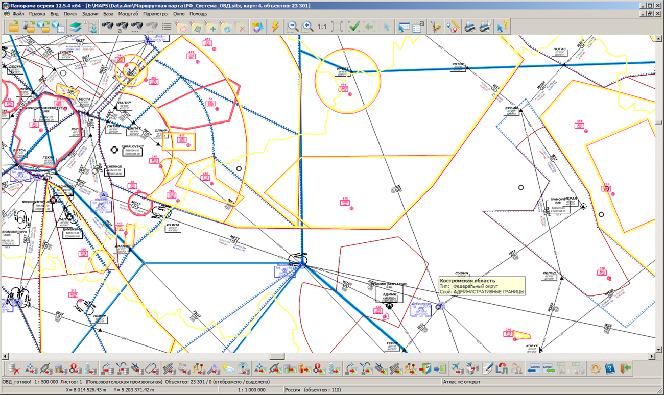
The presentation "Conformity assessment of airfields to FAR requirements" examined the procedure for assessing obstacles according to the Federal Aviation Regulations (FAR-262) and import/export of information from MS Excel documents. The new presentation "AIXM Converter" describes the work of exporting all types of aeronautical data to the AIXM format. The list of slides demonstrating new opportunities for processing zones, airfields and obstacles ("Conducting the main categories of aeronavigation objects") has been expanded. The materials on new parameters of the aerodrome infrastructure elements were added, which were introduced in accordance with the requirements of FAR-262. ("Conducting the base of the airdrome infrastructure"). The presentation "Maintaining the Routes of Standard Arrival, Departure and Instrumental Approach Routes" includes slides about working with waiting routes on the routes. All the updated training and presentation materials on the Complex of preparing the documents of aeronautical information, you can see on the "Presentation" page.
Complex of preparing documents of the aeronautical information is intended for the creation and maintenance of a database of aeronautical information, the formation of aeronautical charts, the designing of flight routes for aircraft and the exchange of data with other information systems. Information exchange is carried out in ARINC and AIXM 5.1 format. The main source of aeronautical information is the aeronautical data base created on the basis of the Aeronautical Information Conceptual Model (AICM), with additions for storing the planned information and the results of the route designing. The model is recommended by the international organization for planning and coordination of air traffic "Eurocontrol".


On the geoportal the map of the Kabardino-Balkaria and Karachay-Cherkess Republics formed according to OpenStreetMap data, were updated. Source data obtained from the website are complemented by objects from maps of scale 1: 1 000 000. There are added the objects of hydrography, vegetation, road network. For work with the received maps it is possible to use the program of GIS Panorama Mini or other software products of KB "Panorama".
Publishing of updates in bank of spatial data is made by using the program of Databank of digital maps and remote sensing data. Publishing contents of bank of spatial data on the geoportal and data access for downloading are implemented by means of GIS WebServer SE.
Free maps on the basis of OpenStreetMap data are available for download on the page "Digital maps and images".

Specialists of KB "Panorama" prepared the video lesson . The information basis of any geographic information system is the spatial data, which are classified by content, scale, purpose and territoriality. When working with cartographic data onto large areas, it becomes necessary to display information in an overview and with detailed textures. Combining all spatial data in one map leads to an increase in the time for searching for objects, performing the computational and analytical tasks. In order to speed up the processing of information, it is recommended to structure the data using the Map Atlas task.
The map atlas is a systematic collection of spatial data and is designed to simplify the transition between overlapping data of different scale. The training film shows the technology of forming the Atlas of maps using the example of the Russian Federation's base map of scale 1: 1 000 000 and maps of subjects of the Russian Federation of scale 1: 25 000.
The digital thematic (geographical) map of Russia on the scale of 1: 1 000 000 provides an overview of the country territory, but its composition does not provide detailed data on the subjects of the Russian Federation. Free maps based on OpenStreetMap data of scale 1: 25 000 contain detailed information on the objects of the terrain.
When combining spatial data in the Map Atlas, the operator sets the visibility ranges (displaying) for each set and determines their numerical composition, which allows to exclude unused data. The transition is performed using the geodetic coordinates of the cursor or the center of the active window. The map atlas is presented as a tree of a group of projects. The group of projects includes various types of data - vector, raster and matrix maps, as well as map projects (MPT).
You can see the training videos at the Video lessons page.


version 9.3.3 was developed in KB "Panorama". The new version of the program creates tiles according to the TMS standard. The main difference of this standard from OGC WMTS is the numbering of tiles and their location. They can be stored as separate files, or can be located in a database. Use of this standard will allow to access the tiles from other servers and services (, ), and also to use the API interface of libraries, such as MAPAPI, GDAL and others.
Specialists of KB "Panorama" have carried out tests on creation of tiles in order to improve the program's capabilities. For creating 700 000 000 tiles on Russian maps in the scale of 1: 10 000, consisting of 84 maps and 19 000 000 objects, the Imagery Creator program took 9 hours. Creation of tiles was carried out on the computer with 4 core Intel Core i5 - 3.5 Ghz and Windows 7. Total amount of created tiles was 2.5 TB.
ImageryCreator allows you to create tiles in the formats JPEG, PNG, PNG8 and Mbtiles according to the international standard OGC WMTS 07-057r7 version 1.0.0 and the TMS standard. The tile data generated by the application are used by software the GIS WebServer SE, GIS WebService SE to provide high-speed query execution for displaying spatial data over large areas while simultaneously accessing a large number of users.
A new version of the program is available on the page.


In KB "Panorama" the version 3.8.1 is developed. In the new version the possibility is added for exchange by the metadata and the data between several copies of the Databank of digital maps and remote sensing data. The new mode of export and import allows you to exchange information when it is not possible to organize direct access to one Data Bank, for example, when data banks are installed in different organizations.
The bank's storehouse can include hundreds of terabytes of spatial information and contain vector maps, remote sensing data, elevation matrixes, terrain models and other types of data. The new version adds a mode of data integrity control. This mode, in addition to restoring the map-scheme, makes comparison of data sets being in storehouse with their backups. This makes it possible to restore files if there are differences in them.
The mode of specifying the values of metadata is added at loading of data sets into storehouse. For example, you can set the same date of survey, security classification, or the comment for all uploaded data.
Within the framework of a single geoinformation space, the Data Bank of digital maps and remote sensing data realises gathering, storage, search and delivery of the spatial data in exchange formats. The spatial data selected by means of the program can be placed for the multiuser access on the and be published according to the international standards OGC WFS, WFS-T, WMS, WMTS, WCS on application server the . Users can access data from both a thin client (by means of ) and from desktop applications (, ).
The databank of digital maps and remote sensing data provides construction of cloud storehouse of spatial data, provision of access to these data, the automated formation and updating of geo-covers. The current state of spatial data is displayed by means of maps-schemes that are maintained for each type of stored data: vector maps, remote sensing data, elevation matrixes and terrain models. It provides remote placing the sets of spatial data into file storehouse, keeping versions of stored sets, updating maps-schemes of data availability, the automated collection and formation of metadata, and the formation and updating of geo-covers. Automated collection and formation of metadata is performed according to the standards of ISO 19115: 2003, Geographic information - Metadata and ISO/TS 19139, Geographic information - Metadata - XML schema implementation. The reduced copies of data images are automatically formed, checksum of files and completeness of data sets are checked.
The new version of the program is available for download on the page.


Ph.: +7 (495) 739-0245, +7 (925) 221-1603
www.gisinfo.ru | panorama@gisinfo.ru
105005, Russia, Moscow, Baumanskaya Street 7, building 1, office 229 (m. Baumanskaya)
Copyright © Panorama Group 1991 - 2024


 Mobile version
 Full version