Copyright © Panorama Group 1991 - 2024

In KB "Panorama" the version 7.3 is developed. The new version increases the speed of access to large arrays of information in spatial databases. This is achieved by the flexible configuration of data caching and the possibility of cache distribution over disk arrays.
The program provides caching of information from a spatial database in the form of a cartographic representation already in established conventional symbols. This allows you to maximize the speed of multi-user access to this data. In the new version, for each GIS Server connection with the geo-spatial database, a separate directory can be assigned in the disk space for cache placing. This approach allows the server administrator to flexibly distribute the load to the disk subsystem.
The GIS Server allows not to reread from the database the previously received information and stored in the cache, even if this information has not been accessed for a while by any server client, or even if the GIS Server has been restarted. If data logging is available in the database, the GIS Server updates the data in the cache only in the part of the data that has changed since the previous access to the spatial data base. Logging of operations is carried out using an additional table in the database - "Log of data changes". The period of poll by GIS Server of the table of changes log is installed by the manager in program settings.
If the logging of operations is not performed in the spatial database, then the GIS Server must update the entire cache. To minimize the time and resource costs required for this operation, the new version introduces the notion of "time of data relevance". Now the cartographic representation generated by the original data set (geospatial database table or SQL query) is not recreated until the established interval of relevance of the received data has expired, even if during this period the operating system or the GIS Server was restarted. After the time of data relevance expires, the cartographical representation will be automatically re-configured if there are active connections to this data set on the GIS Server. If no one is connected to the dataset and the data timeliness has expired, the cartographic view will be re-formed at the first access of the user to this set. The relevance time for the data set of the spatial database is determined by the administrator of the Server GIS based on what spatial information is contained in this set, how much and how often it is updated for the server's clients.
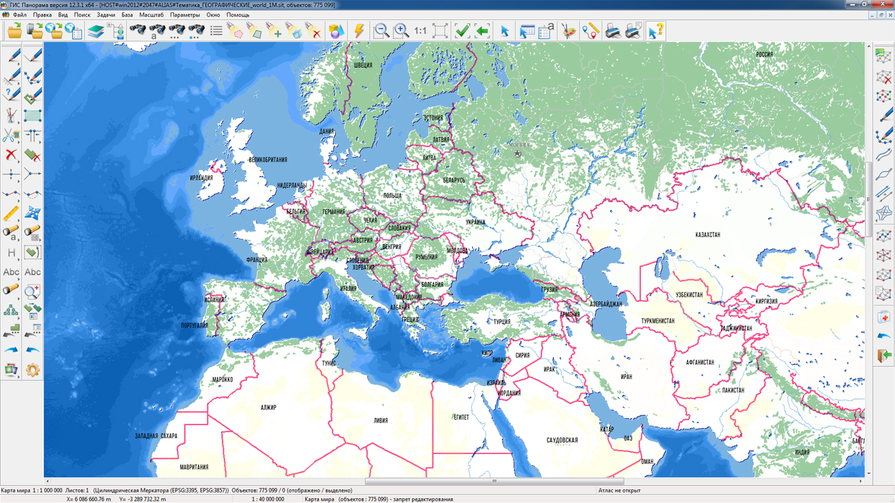
GIS Server provides remote access to vector maps, remote sensing data, matrices, documents and spatial databases. There is supported a multilevel connection of servers among themselves for the distributed storage and processing of spatial data with automatic replication, backup and data protection. The program gives users the opportunity to make changes to geo-spatial data bases through the graphical interface of by means of editing digital terrain maps. In this case, the GIS Server monitors the changes in these databases, performed by any external applications.
The new version of the program is available for download on the page.


In KB "Panorama" the version 9.1 is developed. The new version of the program allows you to create tiles in the SQLite database format - MBTiles. The advantage of this method of storage of tiles compared with storage of tiles in the form of separate files in system consists in saving of a space on a hard disk. All data is stored in a single database file. Tiles in MBTiles format on average take up to 30% less space on the hard disk. The speed of access to the tile in the SQLite database in the Windows system is comparable to the speed of access to the file directly. Use of the MBTiles format will simplify and speed up the process of transferring tiles between servers and hard disks. In order to optimize the use of free space on the hard disk, the program analyzes the size of the created tiles and does not store tiles that do not contain information (empty data). The new version supports the cutting of tiles with numbering for the TMS standard.
The program allows you to create tiles in the formats JPEG, PNG, PNG8 and MBTiles according to the international standard OGC WMTS 07-057r7 version 1.0.0 and the TMS standard. Tile data generated by the ImageryCreator program is used by software of , to provide high-speed query execution for displaying spatial data over large areas while simultaneously accessing a large number of users.
The new version of the program is available for download on the page.


In KB "Panorama" the version 3.3 is developed. In the new version the component of three-dimensional model of a map was updated. The 3D model provides an opportunity to work and to view information layers from the geospatial data base and remote sensing data for analysis and decision making at designing. 3D surface is displayed in accordance with the terrain. Detailed models can contain three-dimensional objects corresponding to objects of a two-dimensional map. The new version adds the ability to automatically change the composition of the displayed three-dimensional objects depending on the scale of the map display. Animation of moving and continuous display of 3D maps are added at movement along equator.
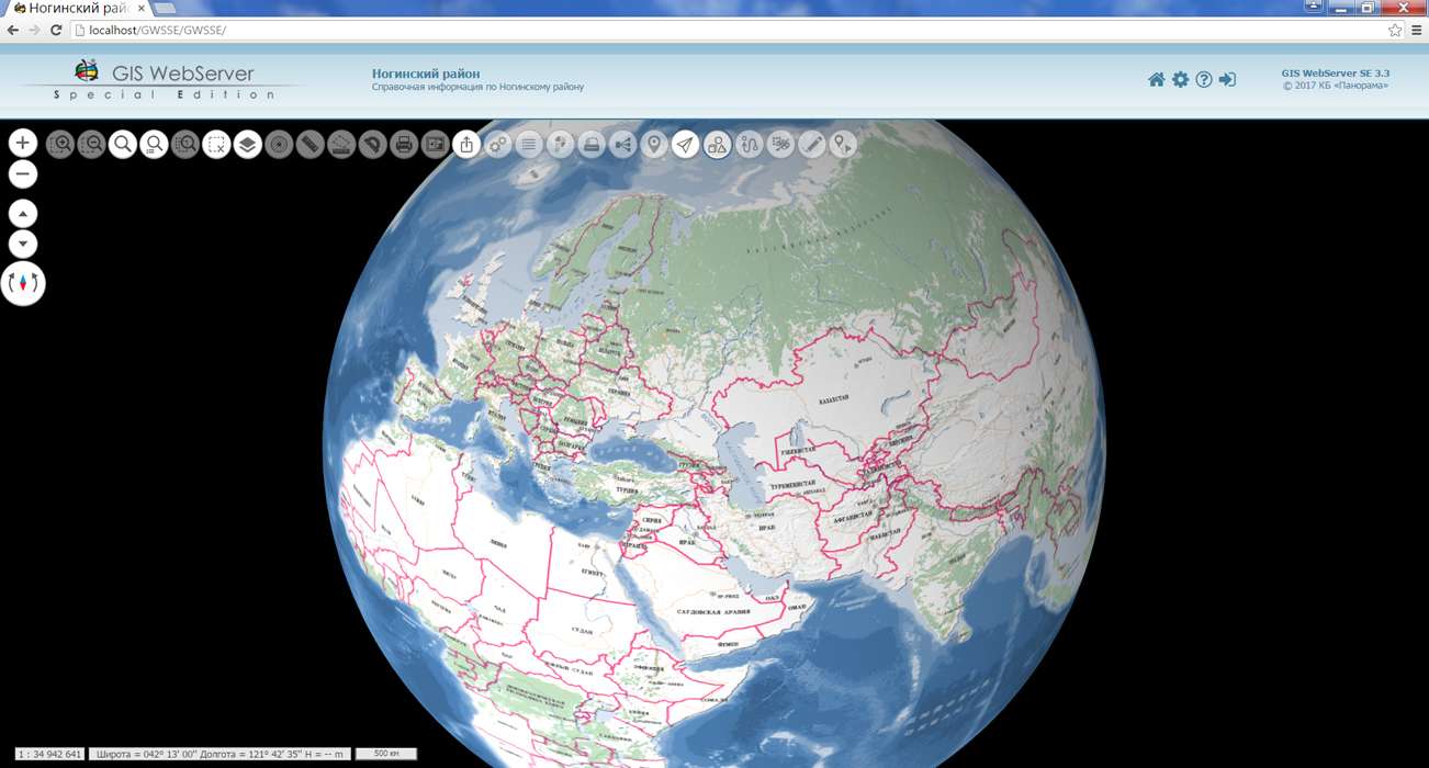
For small scales of display the spherical model of a terrestrial surface is formed. When solving various navigational tasks, the spherical model allows you to explore the globe in a Web browser, to view cities, countries, continents, analyze their mutual location, and also make a quick transition to any point on the globe.
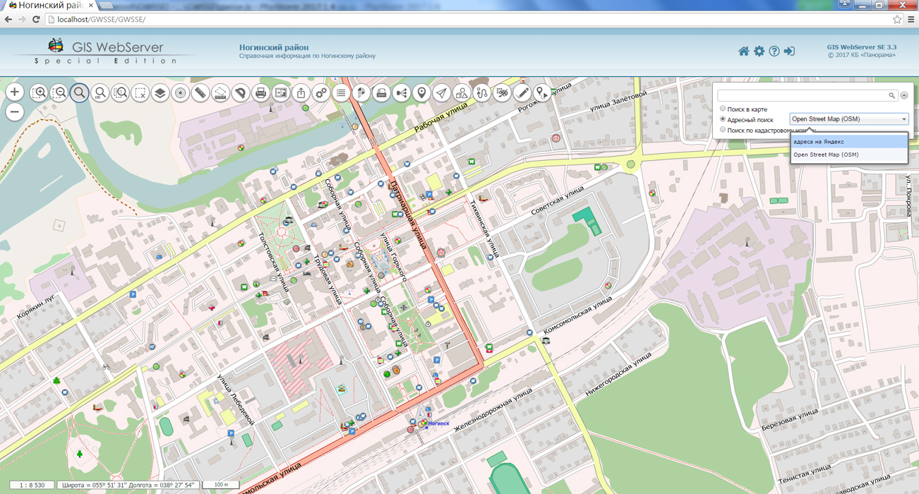
Search system is updated. The ability to select a search resource for address search and search by coordinates is added. This allows you to obtain geodata from various sources in the user interface. Management of map scaling is optimised, image animation at changing a scale of displaying a map is added. In the administration module there is added a customizing the parameters of several systems of address search, search by cadastral number on the portal of Rosreestr. There is added the ability to customize the boundaries for displaying 3D objects by scale.
The web applications development tool the GIS WebToolKit SE has been refined, which extends the capabilities of GIS WebServer SE and can be integrated into other information systems. Access to data (images, vector maps and terrain information) is provided by Web services using common OGC protocols and ISO standards. Service GIS WebService SE (OGC WMS/WMTS) provides spatial information in the form of graphic images. As digital model of a relief the various kinds of high-altitude data are used: matrixes (in formats SRTM, GeoTIFF, IMG, MTW), TIN-models, a cloud of points and others. At request there is carried out the automatic sample of the most accurate data onto the specified terrain site with a given resolution. To transfer data of the digital terrain model to the Web, the WCS protocol is used. The relief data are represented as tiles and are cached on the client.
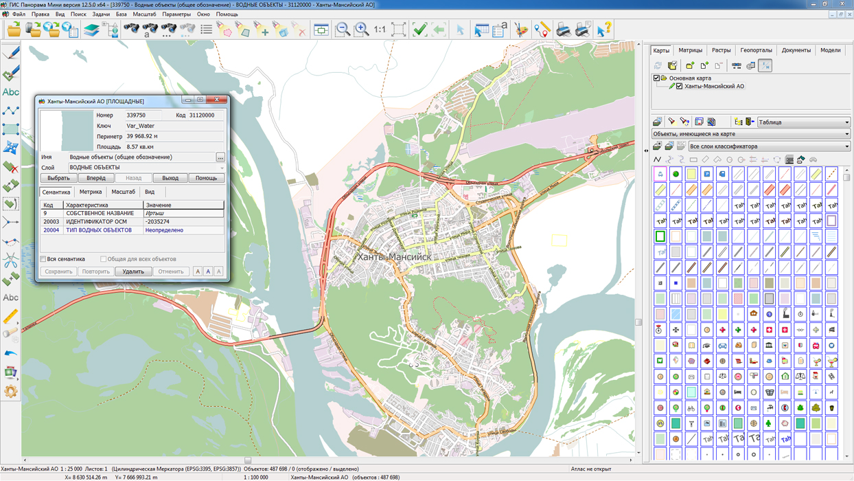
As a source of spatial data, the Data bank of digital maps and remote sensing data can be. It provides the collection, storage, search and delivery of spatial data in exchange formats, a displaying the state of the data bank in the form of maps-schemes, the automated formation and updating of geo-covers.
GIS WebServer SE is used in the construction of closed corporate systems to ensure the protection of data having a security classification or a trade secret. GIS WebServer SE is certified for Level 2 of absence of undeclared capabilities. The new version of the program expands the application's capabilities in solving problems of analysis, management and long-term planning of the territories development. GIS WebServer SE is implemented using the toolkit of GIS WebToolKit SE, which can be used in development tools that use the JavaScript.
The new version of the program, documentation and presentation are available on the web-site in the section.


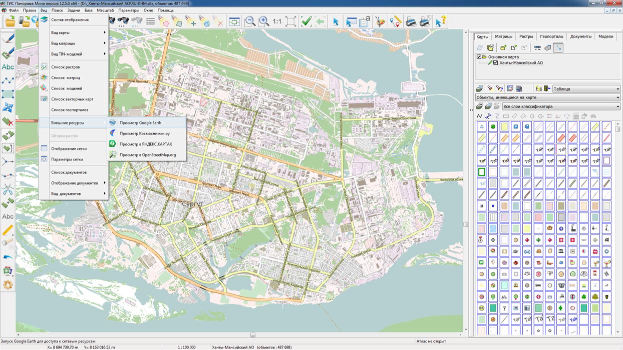
On the geoportal , the map of the Khanty-Mansiysk Autonomous Okrug, formed according to OpenStreetMap data, has been updated. Source data obtained from the website are complemented by objects from maps of scale 1: 1 000 000. There are added the objects of hydrography, vegetation, road network. For work with the received map it is possible to use the program of or other software products of KB "Panorama".
Publishing of updates in bank of spatial data is made by using the program of . Publishing contents of bank of spatial data on the geoportal and data access for downloading are implemented by means of .
Free maps on the basis of OpenStreetMap data are available for download on the page "Digital maps and images".


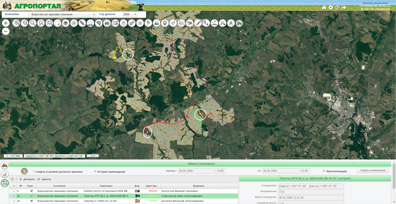
Resource-saving agriculture is not only a change in the way of basic tillage, but a whole system that reduces production costs while improving soil fertility. Agrarian GIS on the basis of provides the accumulation of a large amount of spatial data characterizing the contours of agricultural lands and local conditions of soil fertility in a single database of the agricultural holding. GIS WebServer AGRO as part of the agrarian GIS of agrarian holding's provides remote access to an unlimited number of layers of spatial data and attributive information about the contours of arable land, individual segments of the field, agricultural producers' facilities and the infrastructure of the agro-industrial complex of the region located in the information base.
GIS WebServer AGRO version 2.2 is developed in KB "Panorama". In the new version the speed and reliability of work is increased at processing of a large number of cartographical layers and execution of long search requests. As sources of spatial data, GIS WebServer AGRO uses maps from the agricultural holding database published by cartographical service the and the geoinformation layers connected from external sources of the Internet (for example, satellite imagery from the Kosmosnimki portal or land boundaries from the Public Cadastral Service Map "). When the layers of the agricultural holding are located on the , the coordinate description of the accounting objects of the agro-holding in industrial DBMS is maintained. In new version of GIS WebServer AGRO there is added the possibility to make direct changes into semantic characteristics of the spatial data characterising the contours of fields and other objects of the account of an agricultural producer, without using the special tool of map editing.
GIS WebServer AGRO allows you to use the full range of data needed for resource-saving technologies: satellite monitoring of crops, soil sampling points, soil fertility maps, application of GLONASS/GPS tools to monitor field progress and yield mapping, preparation for differential application of fertilizers, support of data collection from unmanned aerial vehicles, monitoring of vehicles and agricultural machinery, and others.
You can see an example of the work of GIS WebServer AGRO on the page of the demonstration project the .
A new program is available on the site in the section.


Ph.: +7 (495) 739-0245, +7 (925) 221-1603
www.gisinfo.ru | panorama@gisinfo.ru
105005, Russia, Moscow, Baumanskaya Street 7, building 1, office 229 (m. Baumanskaya)
Copyright © Panorama Group 1991 - 2024


 Mobile version
 Full version